North & South Dakota Physical Map - 16.5 x 17.5 Inches - Paper Laminated
$12.99
by Tiger Moon
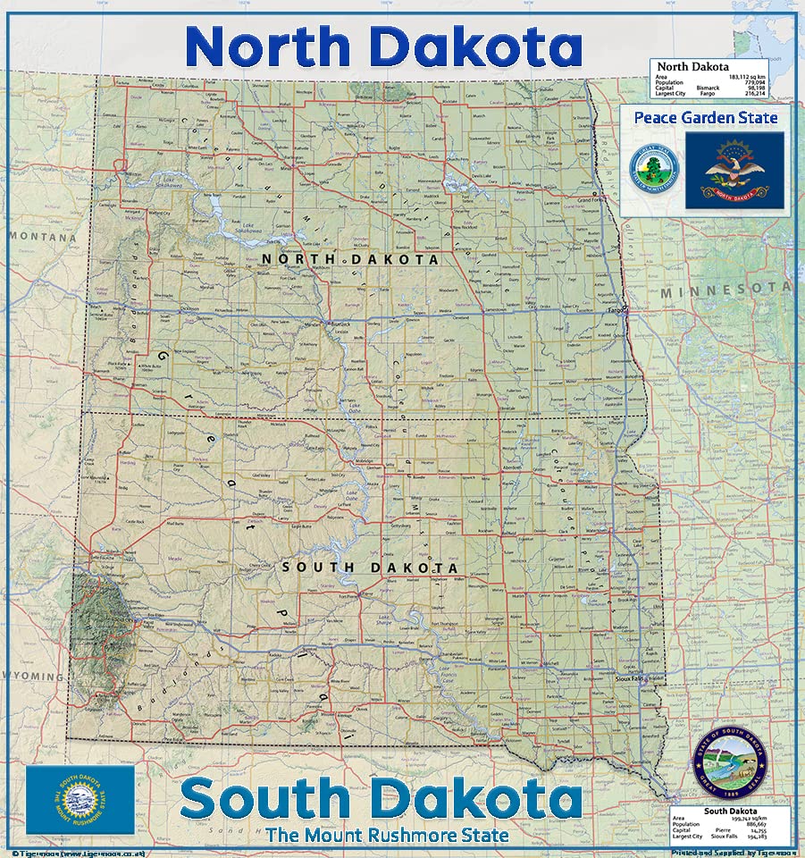
North and South Dakota - Midwest U.S. states rich in art, history, and natural beauty. Fargo's Plains Art Museum, Minot's Scandinavian Heritage Association, and the Black Hills National Forest showcase the region's diverse culture and stunning landscapes. This physical map of North & South Dakota presents key information such as the capital cities, population, area size, and largest city, plus locations of airports, major highways, state boundaries, and populated areas. In addition, the map includes bodies of water and points of interest such as national and state parks, forests, cultural sites, and more. Size - 16.5 x 17.5 Inches. Printed onto high-quality paper and laminated for durability. A detailed & informative physical map of the US states North & South Dakota. The key map details include information on capital cities, area size, population and largest city along with locations for airport, major highways, state boundaries and populated areas.
Size - 16.5 x 17.5 Inches.
Printed onto high-quality paper and laminated for durability.