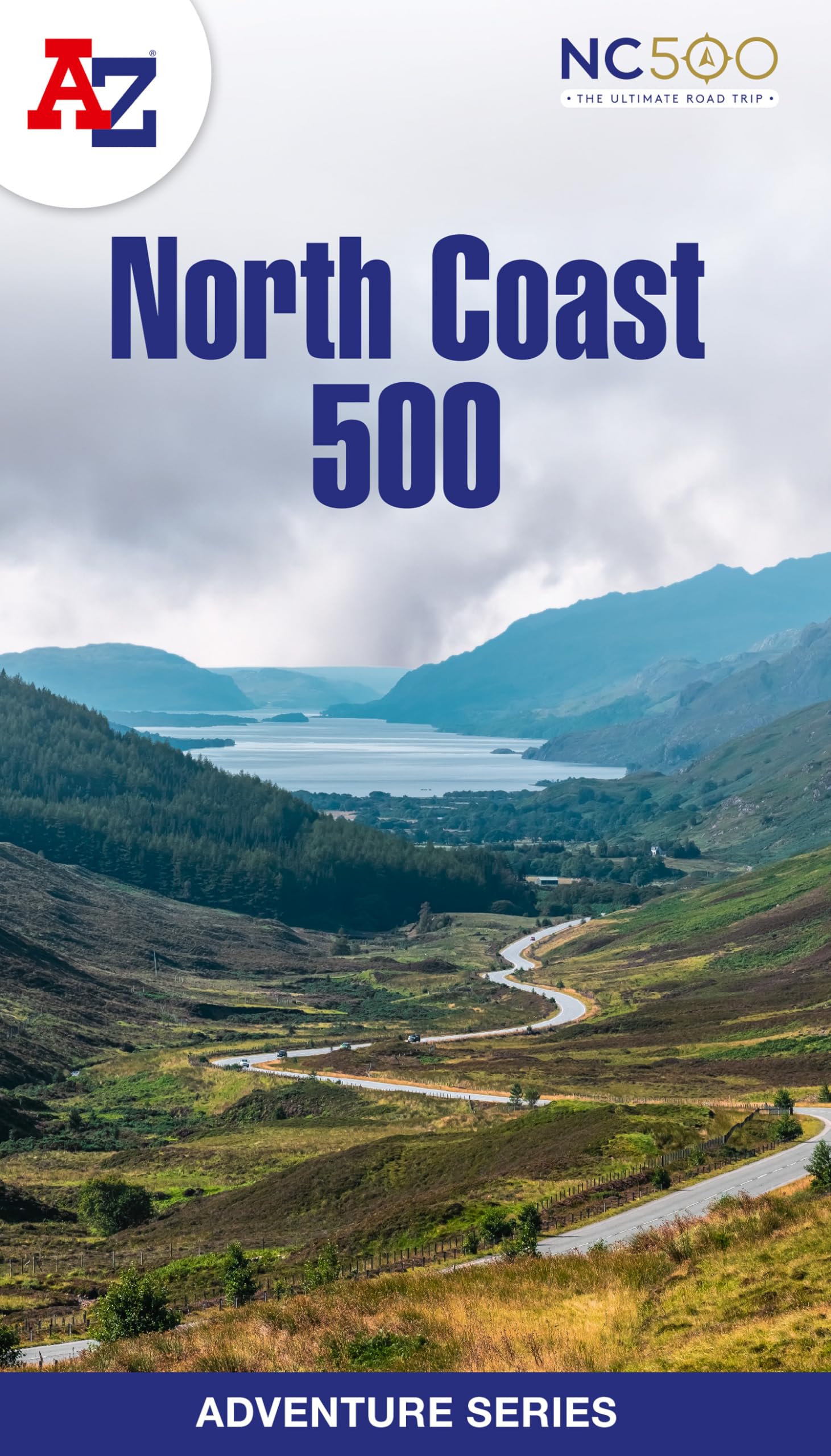
The scenic North Coast 500 is one of the most popular routes in Scotland and journeying along it makes for an incredible adventure. The 516 mile (830 km) route passes through picturesque landscapes and abundant wildlife, linking a wide range of tourist destinations in the Highlands. This A-Z North Coast 500 Adventure Atlas features more than 90 pages of continuous 1:50 000 mapping, providing detailed coverage of the entire route. A route planner showing distances between places and the amenities available is also included, along with the locations of: Campsites (seasonal opening) Information Centres Hotels/B&Bs Youth Hostels Public Houses Shops Restaurants Cafes (seasonal opening) Petrol Stations Other walks available in the A-Z Adventure series include: Cotswold Way, Norfolk Coast Path and Peddars Way, Coast to Coast Path, South Downs Way and The Pembrokeshire Coast Path. Britain’s leading street map publisher providing cartographic services, digital data products and paper mapping publications (including Street Atlases, Visitors Guides, Great Britain Road Atlases and The Adventure Atlas).