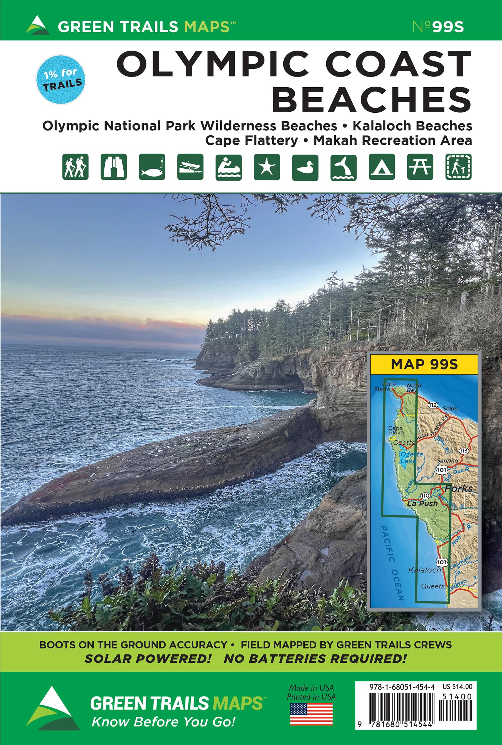
Washington’s Olympic Coast contains some of the wildest beaches and the largest roadless coastal strip remaining in the continental United States. And while good parts of this remote, windswept, and rain-drenched coastline require difficult headland trails (many with ropes and sand ladders) to reach; a fair amount of this country is relatively easily accessible. Map 99S covers the entire coastline from the Queets River to Cape Flattery. This map complete with headland tide crossing information as well backcountry campsites is an essential for planning your Olympic Coast backpacking adventure. Map 99S also includes the dog-friendly stretch of coast near Kalaloch; and Ruby Beach, La Push, Rialto Beach, Ozette Lake, Shi Shi Beach and Cape Flattery Trail on the Makah Reservation. Reprinted 2021 Based in Seattle since its founding in 1973 by Walt Locke as the first publisher of high-quality recreational topographical maps to Washington State, Green Trails Maps publishes more than 150 titles for the most spectacular mountain, beach and desert areas North America. Green Trails Maps show the most current trail, road, and access information to national forests, national parks, state and local parks and other public lands, and are favored by hikers, climbers, cross-country skiers, horseback riders, hunters, anglers, mountain biker riders and search and rescue groups and recommended by the most venerable and respected climbing guides.