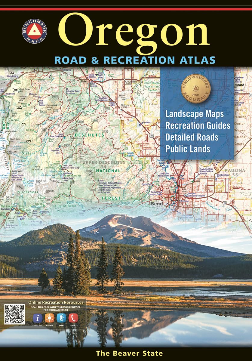
11th Edition 2024. ISBN 9798986387932 Our 11th edition (2024) Oregon Road & Recreation Atlas is now available! Thanks for your patience while our press caught up with demand. Oregonians love their state, Benchmark’s home state, and they love this atlas. They rave about how clearly it maps the roads – ALL of them – and its accuracy, page overlap, and how easy it is to find landmarks. The Landscape Maps in the latest edition are dramatically improved, with better terrain clarity and detail. Our maps of Oregon are field checked for accuracy, and feature all of the important outdoor recreation categories and cultural interests. • Highways of the Northwestern U.S. and Oregon (Hwy 20, I5, I84) • Recreation and Public Lands Detail • Highly Detailed Landscape Maps • Index of counties, cities, parks, mountains, lakes & rivers. • Detailed Portland Metro Map • GPS Grid Map Scales: Recreation Maps 1:750,000 1" =11.8 miles. Landscape Maps 1:225,000 1" =3.6 miles. Metro Maps 1:125,000 1" =2 miles. Dimension: 16" x 11". 112 pages. 11th Edition 2024 Since 1995, our field checkers, cartographers, and editors have been mapping the American West. Our flagship series of Road & Recreation Atlases features thoroughly researched Recreation Guides and our larger scale Landscape Maps(TM). Our precise and easy-to-use atlases are essential tools for planning and navigating your most memorable road trips and adventures. Atlases: Every Benchmark atlas is specially designed for enthusiasts of hunting, fishing, camping, boating, hiking, and other outdoor activities. All atlases have Benchmark‚Äôs exclusive Lan Recreational Maps: Benchmarka€s Recreation Maps were created for outdoor lovers who want the high quality recreation information in our atlases but with the convenience of a traditional fol