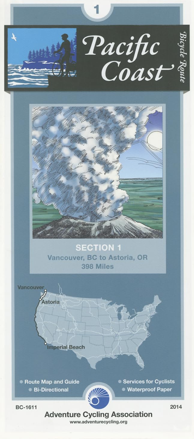
Pacific Coast Bicycle Route - 1: Vancouver, British Columbia - Astoria, Oregon - 402 miles
$16.75
by Adventure Cycling Association
Vancouver is a relatively easy city in which to bicycle. Then after crossing the border into Washington, you'll be riding on narrow two-lane roads on level terrain. There are no shoulders, and traffic is light. Bellingham is a larger town with moderate traffic and some congested intersections. SR-20 south of Anacortes and Whidbey Island has some rolling to hilly terrain. There are several narrow two-lane sections and congested areas near the island's towns; traffic is generally light away from SR 20. South of Port Townsend the route is rolling to hilly on mostly low-traffic rural roads through farms and forests. From Castle Rock in southern Washington you'll face some steep climbs across low hills to Ocean Beach Rd. along the Columbia River. In Oregon, you'll ride west on US 30, which carries moderate traffic and has wide shoulders most of the way into Astoria, the beginning and end points for the TransAmerica Bicycle Trail and the Lewis & Clark Bicycle Trail. ABOUT ADVENTURE CYCLING MAPS Adventure Cycling maps are created by cyclists, for cyclists, and they are some of the best available for those in search of discovery and adventure in North America. The maps reflect the association's research as well as suggestions from thousands of cyclists who have explored the Adventure Cycling Route Network. Adventure Cycling develops the best cross-country, loop, coastal, and inland cycling routes available, with turn-by-turn directions, detailed navigational instructions for the tricky sections, and elevation profiles in the high country. The maps are waterproof and designed to fit in a handlebar-bag window or jersey pocket. The maps provide information specifically for cyclists: the location of bike shops, sources for food and water, and listings of overnight accommodations including camping facilities, small hotels, and cyclists-only lodging. Missoula, Montana, based Adventure Cycling Association is a nonprofit organization. It's mission is to inspire and empower people to travel by bicycle. Established in 1973 as Bikecentennial, it is the premier bicycle-travel organization in North America with more than 35 years of experience and 47,000 members. The Adventure Cycling Route Network features rural and low-traffic bicycling routes through some of the most scenic and historically significant terrain in North America. The organization now has a 42,180-mile network of routes available on its more than 90 maps. Learn more about the organization by visiting their website: www.adventurecycling.org . Service symbols indicating the locations of campgrounds, hostels, motels, gas stations, groceries, r Narratives with turn-by-turn instructions for traveling in either direction Distances given in miles and kilometers Contour lines providing a general idea of elevation gains and losses Elevation profiles in mountainous regions with major ascents and descents indicated