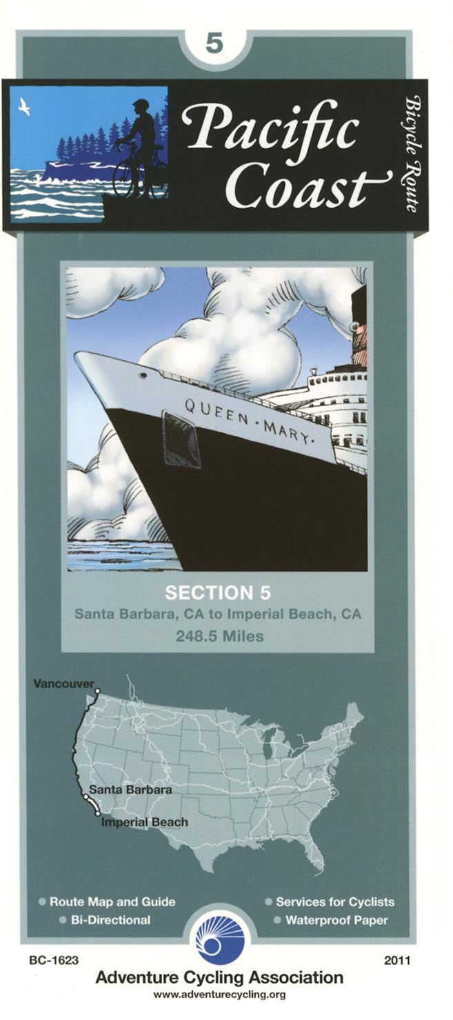
Pacific Coast Bicycle Route - 5: "Santa Barbara, California - Imperial Beach, California - 249 miles"
$16.75
by Adventure Cycling Association
Because the heavy traffic tends to be even heavier in summer, we recommend that you ride this toute in the spring or autumn. May and September/October are the best months for riding. Note that during summer, strong winds prevail from north to south. In Santa Barbara and the towns surrounding it, prepare for urban riding conditions. US 101 between Santa Barbara and Ventura is closed to bicyclists, so you'll ride on city streets and county roads. The route stays close to sea level here. Traffic levels build near Ventura and Oxnard, then tapers off until Los Angeles County. You'll ride on a bike path through Emma Wood State Beach north of Ventura, and join SR 1 southeast of Port Hueneme. South of the Ventura/Los Angeles County line you'll ride through Malibu on a four- and six-lane freeway with wide shoulders. Traffic is heavier on weekends and during the summer. Through Los Angeles you'll be using beachside bicycle and pedestrian paths. You'll follow city streets through Palos Verdes Estates and Long Beach, then rejoin the busy Pacific Coast Highway, which has shoulders. You'll encounter busy local traffic on CR S21 in San Diego County; the road shoulders are continuous. South of La Jolla, you'll pedal along residential streets and bicycle/pedestrian paths through San Diego. A ferry takes you to Coronado and a path along Silver Strand Beach. The route ends at the Border Field State Park south of Imperial Beach, where the U.S. and Mexico share the border at the Pacific Ocean. ABOUT ADVENTURE CYCLING MAPS Adventure Cycling maps are created by cyclists, for cyclists, and they are some of the best available for those in search of discovery and adventure in North America. The maps reflect the association's research as well as suggestions from thousands of cyclists who have explored the Adventure Cycling Route Network. Adventure Cycling develops the best cross-country, loop, coastal, and inland cycling routes available, with turn-by-turn directions, detailed navigational instructions for the tricky sections, and elevation profiles in the high country. The maps are waterproof and designed to fit in a handlebar-bag window or jersey pocket. The maps provide information specifically for cyclists: the location of bike shops, sources for food and water, and listings of overnight accommodations including camping facilities, small hotels, and cyclists-only lodging. Missoula, Montana, based Adventure Cycling Association is a nonprofit organization. It's mission is to inspire and empower people to travel by bicycle. Established in 1973 as Bikecentennial, it is the premier bicycle-travel organization in North America with more than 35 years of experience and 47,000 members. The Adventure Cycling Route Network features rural and low-traffic bicycling routes through some of the most scenic and historically significant terrain in North America. The organization now has a 42,180-mile network of routes available on its more than 90 maps. Learn more about the organization by visiting their website: www.adventurecycling.org .