Pembrokeshire Coast Path: with Ordnance Survey mapping (Z Adventure)
$19.99
by Geographers' A-Z Map Co Ltd
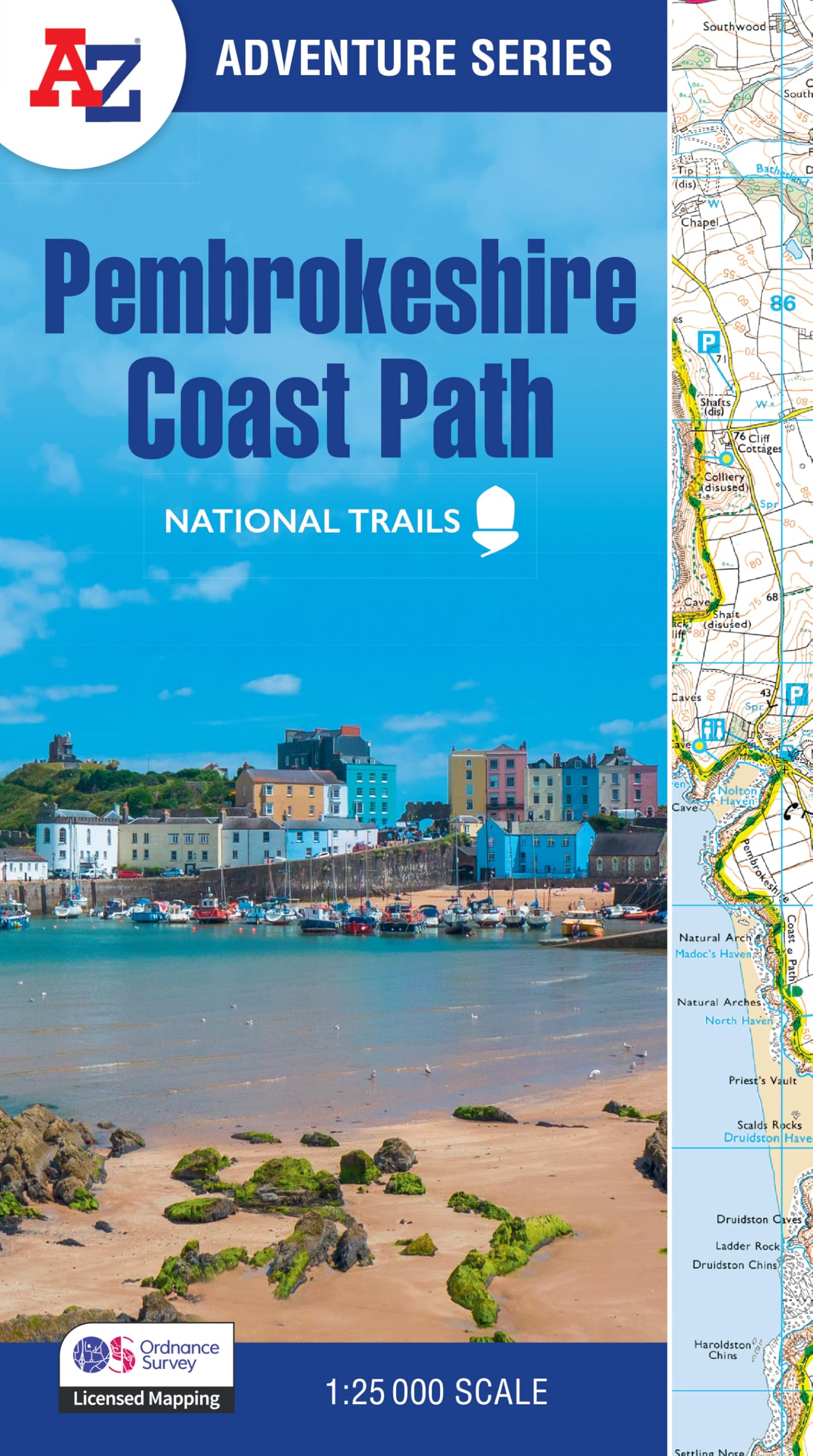
The A-Z Adventure Series uses Ordnance Survey mapping and is the perfect companion for walkers, off-road cyclists, and anyone wishing to explore the great outdoors. The Pembrokeshire Coast Path is a 186 mile (299 km) National Trail in south-west Wales. From Amroth in the south to St Dogmaels in the north and running mainly through the Pembrokeshire National Park, the route passes through some of the most scenic parts of Wales. This National Trail Map features detailed mapping at a scale of 1:25 000, providing complete coverage of the Pembrokeshire Coast Path. There is also a route planner included to show distances between places and the amenities available making it easy to plan your adventure. Additional features include: Information Centers - Hotels/B&Bs - Youth Hostels - Campsites (seasonal opening) - Public Houses - Shops - Restaurants - Cafes (seasonal opening) - Petrol Stations Geographers’ Map Company Ltd. (A-Z Maps) was established in London on 25 August 1936. The company’s most famous publication, the iconic A-Z Atlas and Guide to London, was created by Phyllis Pearsall, the founder of A-Z, who explored every street in London to create the first edition. Since then, A-Z has become the trusted source for street maps and atlases, as well as developing Visitors’ Guides, Road Atlases and the Adventure Map series for walkers.