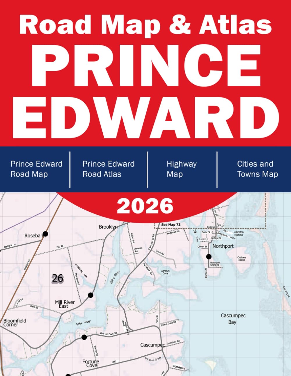
Prince Edward Island Road Map - Prince Edward Island Road Atlas - Road Map of Prince Edward County Canada
$18.26
by Ecomaizing Books
Discover the beauty of Prince Edward Island with this comprehensive Prince Edward Road Map & Atlas — your essential travel companion for navigating Canada’s smallest province with confidence and ease. Whether you're a local, a traveler, or a logistics planner, this atlas is designed to provide detailed, up-to-date road coverage , clear cartographic design, and enhanced usability. Features: Complete Road Network – Includes highways, rural roads, secondary routes, and scenic byways across the entire island. - Detailed City & Town Maps – Enlarged maps of Charlottetown, Summerside, and other key towns for easy navigation. - Tourist & Landmark Highlights – Parks, beaches, historical sites, and cultural points of interest are clearly marked. - Community Index – Quick-reference index of all communities and localities. - Grid Reference System – Designed for effortless location lookup and map orientation. - Enlarged Insets – Focused insets for dense areas and popular destinations, ensuring no detail is missed. Perfect for road trips, delivery routing, or local exploration, the Prince Edward Road Map & Atlas brings you clarity, precision, and convenience — all in one handy format.