Rail-Trails California: The Definitive Guide to the State's Top Multiuse Trails
$16.99
by Rails-to-Trails Conservancy
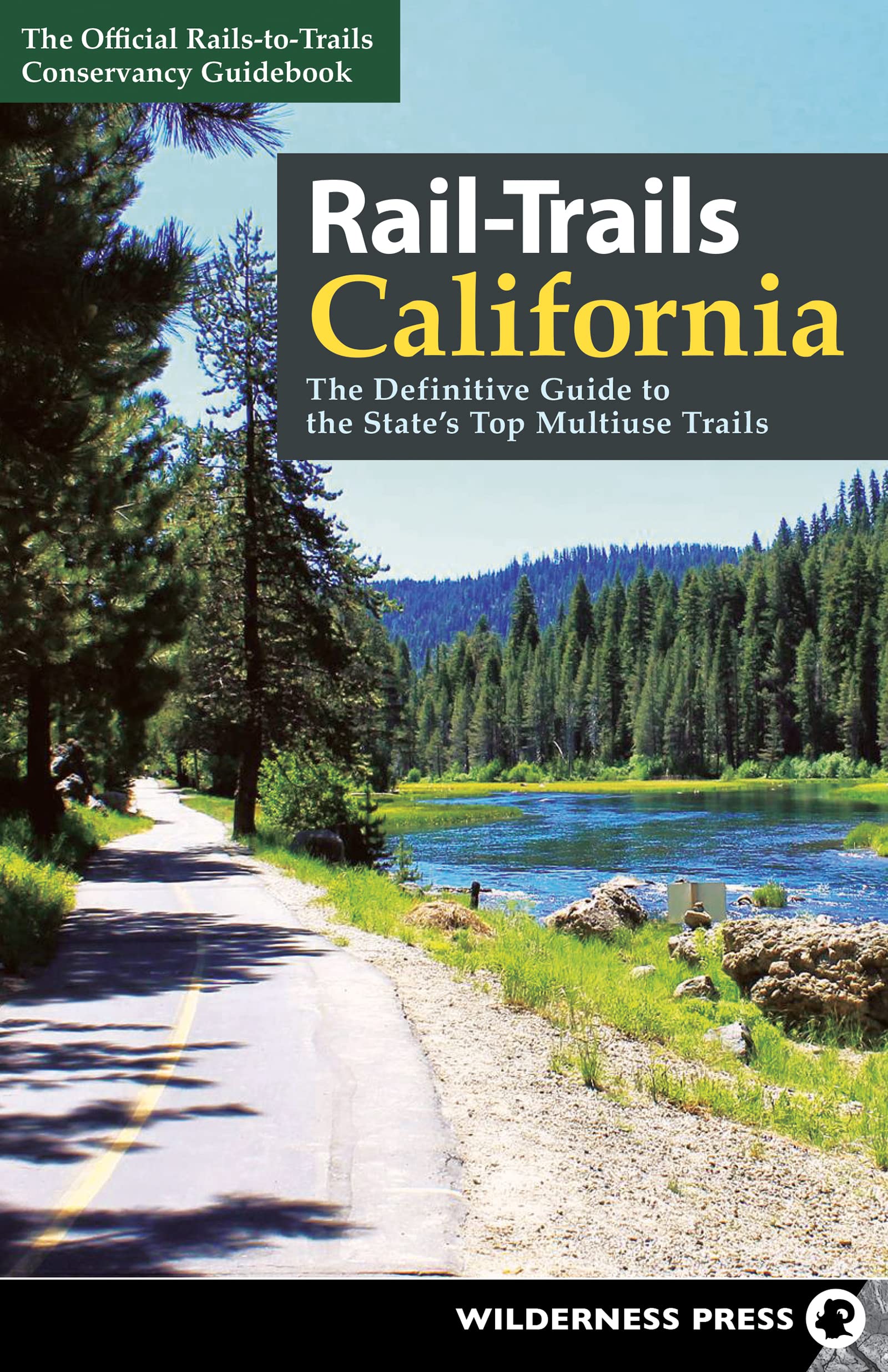
Explore 72 of the best rail-trails and other multiuse pathways throughout California. All across the country, unused railroad corridors have been converted into public multiuse trails. Level and accessible, these paths are ideal for a brisk fitness walk, bike ride, or stroll with the family. In Rail-Trails California , the experts from Rails-to-Trails Conservancy present the best of these routes, as well as other multiuse pathways. Many rail-trails are paved and run within view of the most scenic parts of town. Others, such as the Merced River Trail, offer rugged scenery on ungroomed, mostly dirt, and somewhat wild paths. Take in the Southern California sunshine on the smooth Bayshore Bikeway. Enjoy sandy beaches, sea lions, and shopping along the Monterey Bay Coastal Recreation Trail. Travel between two artificial lakes on the Crystal Springs Regional Trail or between two dams on the Sacramento River Rail Trail. Find public art, a Japanese garden, and a wildlife preserve along the Orange Line Bike Path. Experience the varying personalities of the 25-mile Bizz Johnson National Recreation Trail. Whether you’re on feet or wheels, you’ll love the variety in this collection of multiuse trails! Inside you’ll find: Informative descriptions written by rail-trail experts - Detailed maps for every featured trail - GPS coordinates of parking waypoints - Icons indicating the activities that each trail accommodates - Information you can rely on from the official guide to rail-trails “You can now throw away all your self-help books on fighting depression, losing weight, toning muscles, finding something to do with your kids, and learning American history. Just use this guide, find a great trail—and enjoy!” —Peter Harnik, Director, Center for City Park Excellence, Trust for Public Land Rails-to-Trails Conservancy is a nationwide nonprofit dedicated to converting former railroad corridors to public, multiuse recreational trails that offer easy access to runners, hikers, bicyclists, skaters, wheelchair users, and equestrians. It serves as the national voice for more than 160,000 members and supporters, more than 23,000 miles of open rail-trails across the country, and more than 8,000 miles of potential trails waiting to be built—with a goal of ensuring a better future for America made possible by trails and the connections they inspire. Merced River Trail County: Mariposa - Endpoints: Briceburg Visitor Center on Central Yosemite Hwy./CA 140 (Briceburg); gate located 600 feet north of Railroad Flat Campground (Midpines) - Mileage: 4.9 - Type: Rail-Trail - Roughness Rating: 2 - Surface: Gravel About 20 miles southwest of Yosemite National Park, the scenic Merced River Trail functions as both a bike/pedestrian trail and a lightly trafficked vehicular road used to access campsites and recreational amenities within the Merced River Recreation Area. Following the historical Yosemite Valley Railroad along the Merced River, the trail offers a relatively flat grade for intermediate skill levels. It’s especially beautiful in the spring with an explosion of wildflowers that lasts from March to May. The eastern entrance at the Briceburg Visitor Center provides parking, river access, and shade for resting or a picnic lunch along the river. Upon setting off westward from the parking lot, you will pass over a narrow bridge that accommodates both automobiles and bikes. Turn left after the bridge and follow the path west along the Merced River; going straight would take you instead to a switchbacking hiking trail up a mountainside. The Merced River will be a constant companion, and there are river access points throughout, including places to hop in for a quick swim or to go rafting. Gold prospecting and trout fishing are also common. A popular place to enjoy these activities is the Cable Rock Day Use Area, which you’ll reach after 1.4 miles. As you continue west down the gravel road maintained by the Bureau of Land Management (BLM), you may encounter the occasional vehicle sharing the road to access three campgrounds along the route, all providing restrooms and parking: McCabe Flat (1 mile west of Cable Rock), Willow Placer (1.5 miles after McCabe Flat), and Railroad Flat (0.8 mile after Willow Placer). Although the multiuse pathway (and BLM road) ends at a gate just north of Railroad Flat Campground, adventurers can find hiking-only opportunities beyond it. Contact : blm.gov/visit/merced-river and mariposacounty.org/2306/merced-river-trail Parking Parking areas are located within Briceburg and are listed from east to west. *Indicates that at least one accessible parking space is available. Merced River Recreation Management Area: Central Yosemite Hwy./CA 140, 4.1 miles north of Colorado Road (37.6049, -119.9666). Cable Rock Day Use Area: Roadside parking along Briceburg Road, 1.4 miles west of Central Yosemite Hwy. (37.5943, -119.9879). Mccabe Flat Campground: Briceburg Road, 2.5 miles west of Central Yosemite Hwy. (37.5965, -1