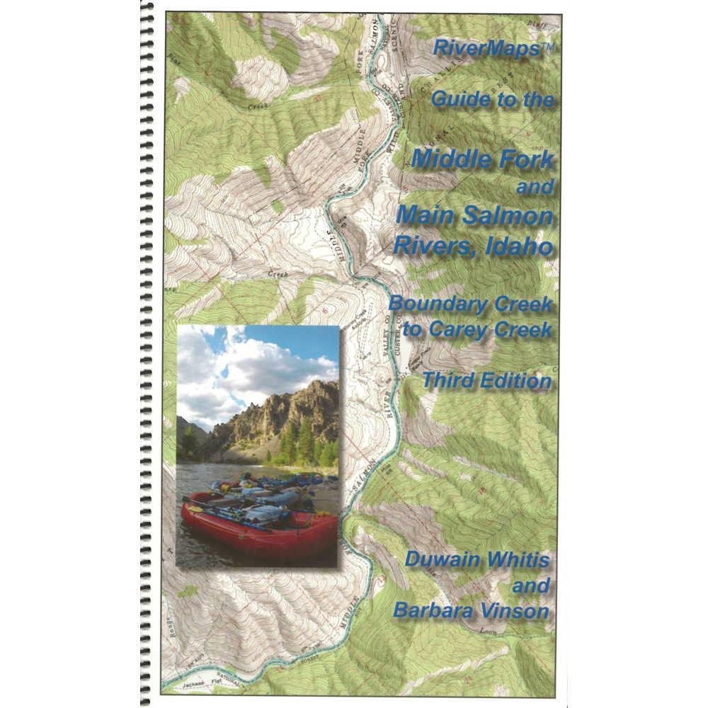
River Maps Guide to The Middle Fork and Main Salmon Rivers, Idaho, Third Edition
$46.95
by River Maps
ISBN-13:978-09913896-1-2 Authors: Duwain Whitis & Barbara Vinson Copyright: 2015 3rd Edition Size: 9"w x 14"h waterproof paper Pages: 76
The Guide to the Middle Fork and Main Salmon Rivers, Idaho, Third Edition , by Duwain Whitis & Barbara Vinson, covers the entire Salmon river, from the Boundary Creek launch site on the Middle Fork to the Carey Creek take out on the Main Salmon.
There are also info pages on frequently asked questions about boating the river, area geology, archeology, resources protection and plants found along the river. This is a must-have guidebook for your trip down the Salmon.
River Maps Guide to the Middle Fork and Main Salmon Rivers, Idaho, Third Edition Features:
- ISBN-13:978-09913896-1-2
- Authors: Duwain Whitis & Barbara Vinson
- Copyright: 2015 3rd Edition
- Size: 9"w x 14"h waterproof paper
- Pages: 76
- Map Pages: USGS 7.5" color topo reproductions
- Scale: 2,000 feet per inch (1:24,000)