San Rafael Desert Utah Topo Map Index: 7.5' Topographic Quadrangle Atlas and Gazetteer - Small Print
$19.99
by YellowMaps
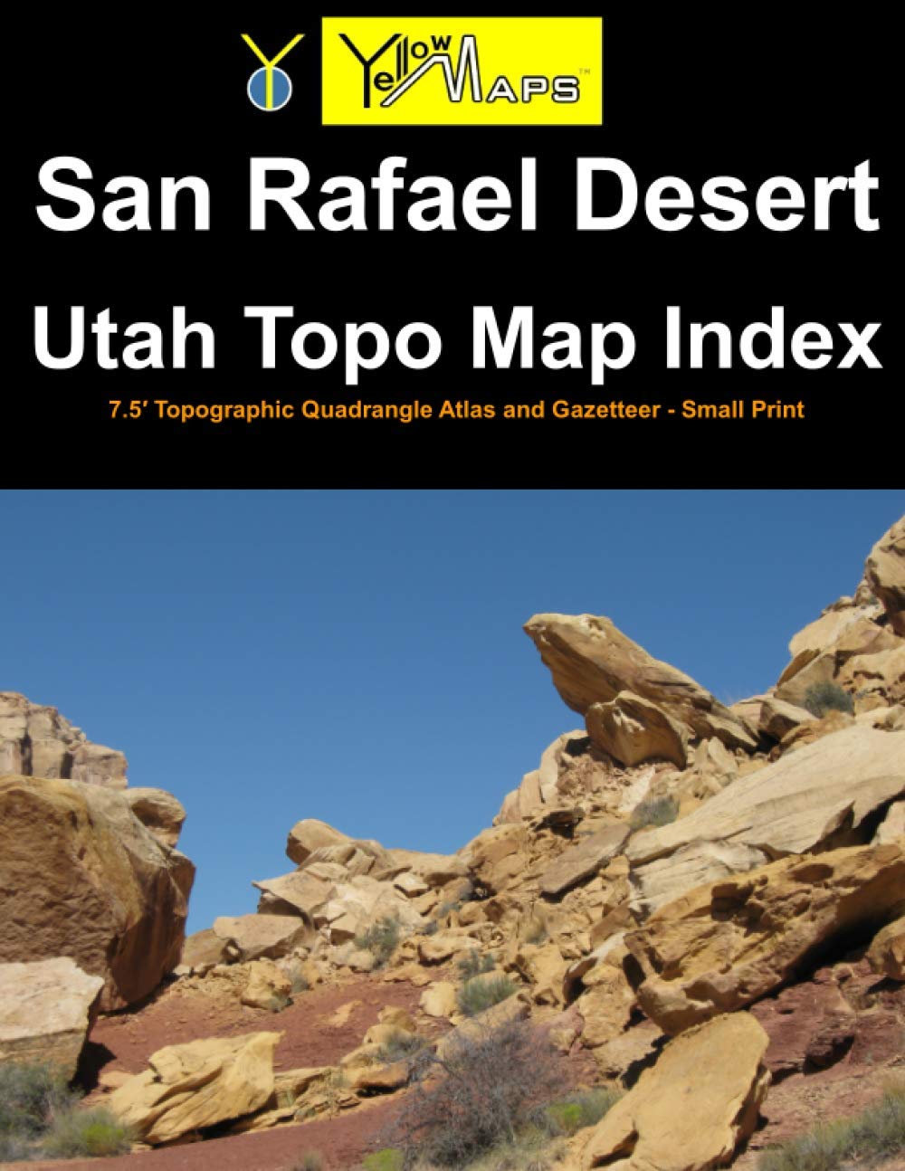
One of a series of 46 atlases covering the entire state of Utah, the San Rafael Desert Utah Topo Map Index contains 32 historical USGS topographic 7.5' quadrangle maps of the San Rafael Desert, Utah, area, named after the 30'x60' USGS topo map of the area carrying the same name. This area is a box sandwiched between 38.5°N and 39°N latitude, and between 111°W and 110°W longitude. Printed at reduced size (book format is letter-size: 8.5x11 inches) in small print . The original maps were produced by the U.S. Geological Survey (USGS). The San Rafael Desert atlas serves as an index to finding and previewing 7.5 minute maps, along with QR codes and website URLs for downloading or ordering full-size print copies of said 7.5' maps at 1:24,000 scale. This atlas also includes a gazetteer of geographic features, and is illustrated by publisher YellowMaps with landscape photographs of the local area. List of 7.5 minute quad maps included in this book: Sid And Charley - The Blocks - The Wickiup - Drowned Hole Draw - Spotted Wolf Canyon - Jessies Twist - Green River - Green River Ne - Copper Globe - San Rafael Knob - Twin Knolls - Arsons Garden - Greasewood Draw - Horse Bench West - Horse Bench East - Green River Se - Tomsich Butte - Horse Valley - Temple Mountain - Old Woman Wash - Crows Nest Spring - Spring Canyon - Moonshine Wash - Tenmile Point - Hunt Draw - Little Wild Horse Mesa - Goblin Valley - Gilson Butte - The Flat Tops - Jacks Knob - Keg Knoll - Bowknot Bend