Santa Monica Mountains California Trail Guide Franko Maps Waterproof Map
$8.99
by Franko Maps Ltd
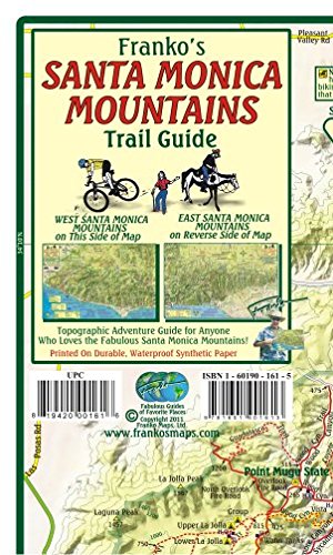
This is a shaded relief topographic contour map. It shows Class I, II and II bikeways, dirt roads, trails and singletracks with symbols indicating which trails are for hiking, mountain bikes or equestrian use, where dogs are allowed, plus picnic areas, camp sites, parking and wheelchair access. There are descriptions of many points of interest, trails and parks. Side one covers the western part of the mountains, from Point Mugu to Mailbu Bluffs and Calabasas. Side two covers the eastern part, going all the way to the tip of Griffith Park. 14" x 21" folded to a handy 4" x 7", printed on waterproof rip-resistant synthetic material. This handy guide will bring you many days of enjoyable recreation!