Sao Paulo & Brasil South Coast Travel Reference Map 1:12,000/1:2,200,000
$11.95
by ITMB Publishing
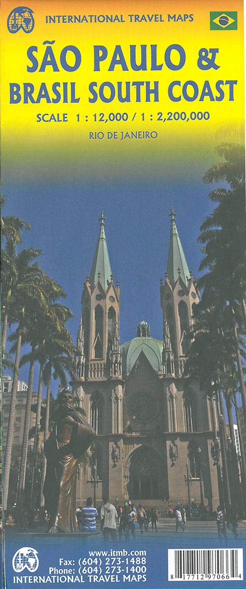
Sao Paulo is Brasil s second-largest city and most vibrant area. The Centro, or downtown area, is quite compact, and consists of two pedestrian areas separated by a large park. The street pattern is much better arranged than in Rio, and the city has a sensible subway network. The Cathedral is the largest in Latin America, and nearby is one of the oldest churches, dating from 1644. The other side of the sheet is the real value of this map. Brasil is a very large country, with much of its road network concentrated in the heavily-populated far south. Thus, a map of the entire country reduces usability. We have added a proper map of the southern third of Brasil, from the Uruguayan border north to Brasilia and from the Argentinian border eastwards to east of Rio. This map includes most of the largest cities in Brasil, Rio, Sao Paulo, Belo Horizonte, Brasilia, Curitiba, and Puerto Alegre. An inset of Rio is included. Legend Includes: Highway, Secondary Road, Ferry Route, Railway, Museum, Historical Site, Beach, Camping, etc.