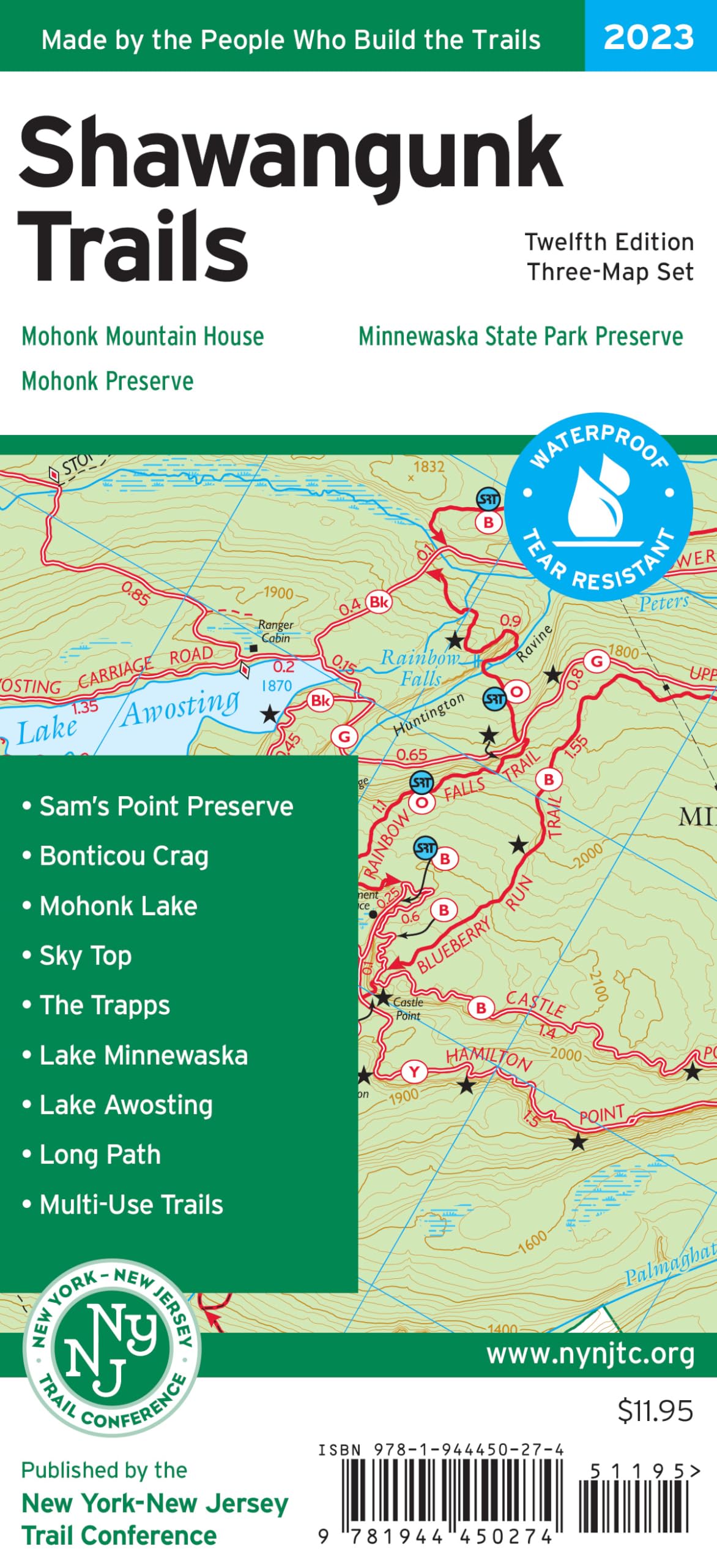
Shawangunk Trails Map, 2023: Minnewaska State Park Preserve, Mohonk Preserve, Mohonk Mountain House
$11.95
by New York-New Jersey Trail Conference
The Shawangunk Trails Map by the New York-New Jersey Trail Conference is a three-map set featuring trails in the northern Shawangunks region of New York. The maps are printed in vibrant color on waterproof and tear-resistant Tyvek, include trail mileage numbers, and are a must-have for exploring the many trails and protected lands of the Shawangunk Mountains, including breathtaking cliffs, pitch pines growing out of bedrock, and spectacular views. Covering more than 200 miles of maintained trails and carriage roads, the revised 12th edition of Shawangunk Trails is the best map yet for exploring the northern Shawangunks. The 2023 update includes several trail updates, including changes to the Long Path and Mine Hole Footpath in an area impacted by recent forest fires, upgraded status of maintained sections of the Smiley and High Point carriage roads, extension of the Spruce Glen Footpath south of Lake Awosting, updated blaze colors and names for some trails in Mohonk Preserve, and new trails like the Split Rock Loop and Lost City Escarpment Trail. Several trails have been redrawn based on more recent GPS data, and a new inset map has been prepared to show nearby trails in the Rosendale area. Other improvements include viewpoint star updates and additions, parking access updates including the addition of Testimonial Gateway Trailhead for Mohonk Preserve, and the addition of newly-protected lands. Map features include: More than 200 miles of maintained trails and carriage roads, many of which are open to bikes and horses, in the northern Shawangunks of Ulster County - Parklands including Minnewaska State Park Preserve, Mohonk Preserve, Shawangunk Ridge State Forest, and the Mohonk Mountain House property - Sections of the Long Path and Shawangunk Ridge Trail - Detailed trail mileage numbers - 20-foot elevation contours - 1:30,000 scale (1 inch = 0.47 mile) - Convenient map sizes to carry and use on the trail - Map featuring the route of the Long Path/Shawangunk Ridge Trail between Wurtsboro and Route 52 - Enlarged large-scale map of complex trail network in the area of Mohonk Mountain House - Parkland boundaries - Unmaintained trails and woods roads - Viewpoints, waterfalls, mines, and other points of interest - Parking areas - Park contact information, history, and regulations - UTM coordinate grid for navigation Trail Conference maps are built on more than 85 years of mapping experience. They are the trusted source for reliable trail information in the New York-New Jersey metropolitan region. These maps are "Made By the People Who Build the Trails" and are regularly updated with changes to the trails. The New York-New Jersey Trail Conference is a volunteer-powered, 501(c)3 nonprofit organization that builds, maintains, and protects public trails. Together with our partners, we strive to ensure that the trails and natural areas we share are sustainable and accessible for all to enjoy for generations to come. Do your part to speak up for trails, volunteer to make our trails better, or support trails by purchasing great maps, making a gift, or becoming a member. Learn more at nynjtc.org.