Southern Appalachians Road and Recreation Atlas - 2nd Edition, 2026 (Benchmark)
$29.95
by Benchmark Maps
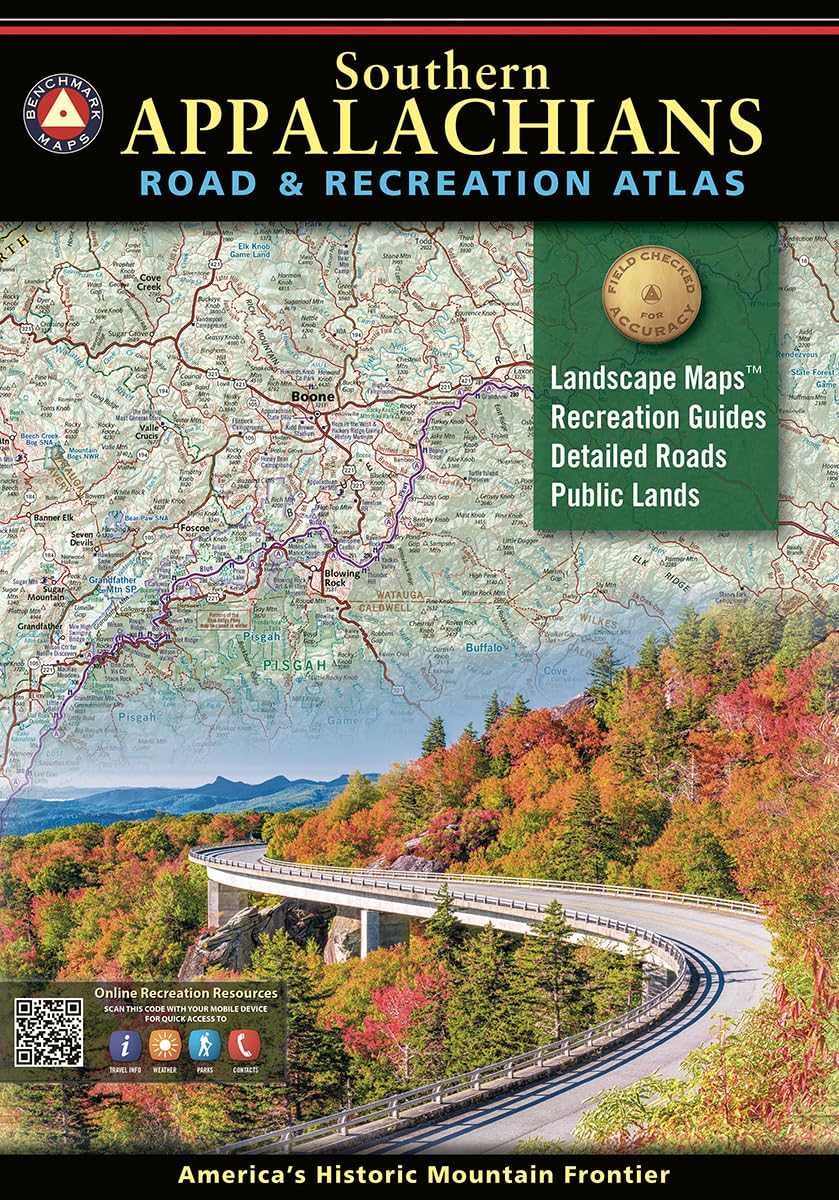
Discover the rich landscapes, winding roads, and endless recreation of the Southern Appalachian region with our Southern Appalachians Road & Recreation Atlas. Spanning parts of 10 states from Harpers Ferry through the Great Smoky and Blue Ridge mountains to Springer Mountain and Little River Canyon, this large-format, 144-page atlas has been thoroughly updated with current data, field-checking, local interviews, and consumer feedback. Built for travelers, adventurers, and map lovers alike, this second edition reflects hundreds of updates and improvements, offering the most accurate, current, and detailed cartographic resource available for the Southern Appalachians. In 1995, three respected mapping firms collaborated on a vision they shared for a new line of state road atlases. The result was Benchmark Maps: a partnership that would apply the unique talents of each company to produce atlases with an entirely new kind of look and presentation. These new atlases would combine strikingly beautiful Landscape Maps™ with data collection of unequaled accuracy and detail. Since our beginning, nearly 3 million Benchmark maps and atlases have been purchased by discriminating map users from all over the world. It's not unusual for us to hear from people who have purchased a copy of every one of our atlases.