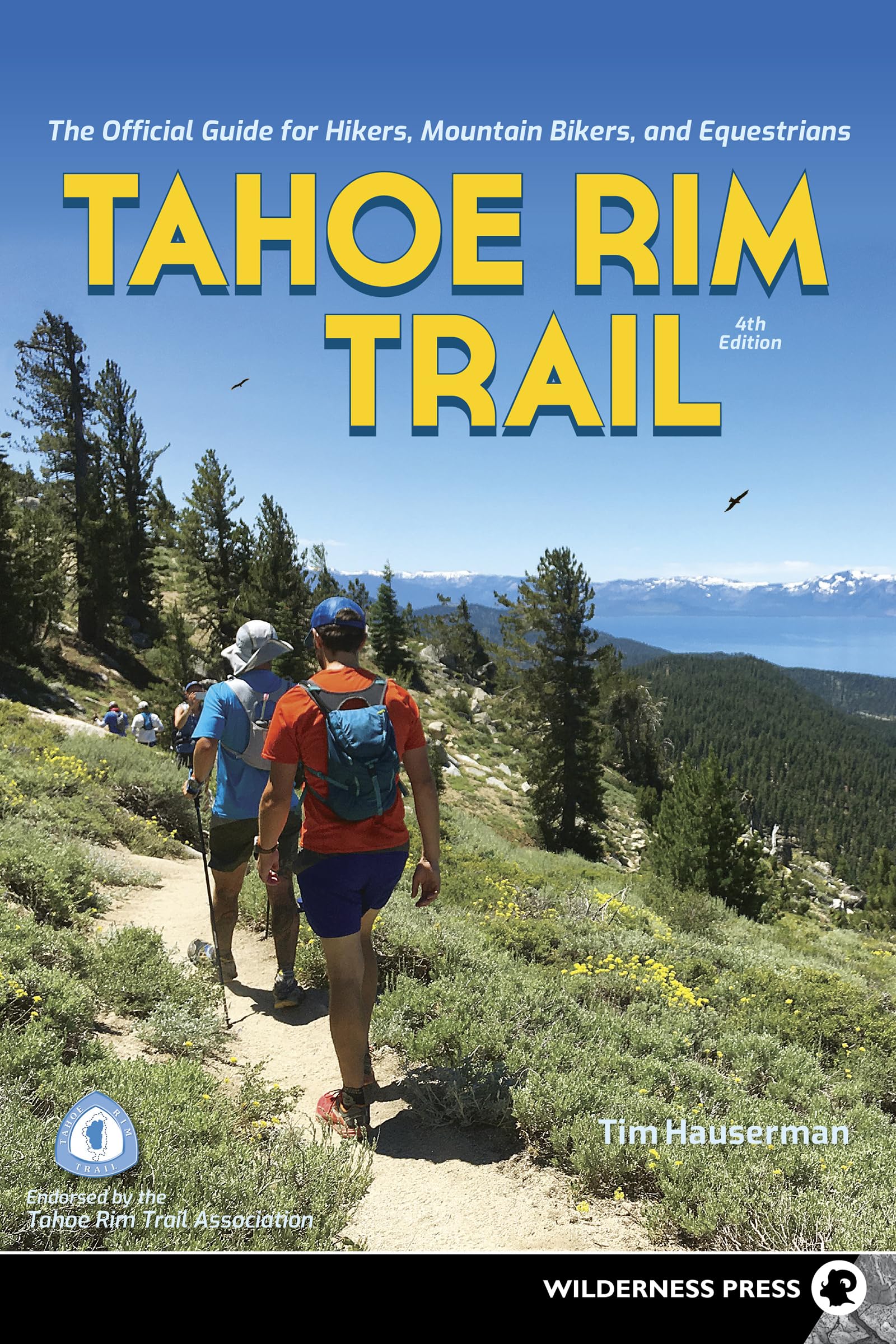
Tahoe Rim Trail: The Official Guide for Hikers, Mountain Bikers, and Equestrians
$14.06
by Tim Hauserman
Experience the Unparalleled Beauty of Lake Tahoe and Its Trail The Tahoe Rim Trail is one of the worlds premier trailsfor good reason. It winds completely around spectacular Lake Tahoe, the highest and largest alpine lake in North America. Along the way, the trail takes you through wilderness areas, national forests, and state parks. The combination of pristine lake and mountain vistas creates breathtaking scenery unlike anywhere else on the planet. This area along the border of California and Nevada is truly an outdoors-adventure paradise. Whether youre traveling on foot, mountain bike, or horseback, the most important part of your trip is planning it. Put Tahoe resident Tim Hausermans experience as a longtime hiker and outdoors guide to use. With this book, you can hike, bike, or ride along the peaks and valleys of the Tahoe Rim Trail. Safely traverse a landscape thats rich in history, and enjoy the incredible diversity of geology, flora, and fauna. Tahoe Rim Trail presents the entire 165-mile trail (and dozens of side trips), divided into 8 sections. Each entry includes information on difficulty, trail highlights, driving directions, and more. The in-depth descriptions help you know what to expect, while the trail maps ensure that you know where you are and where youre going. Youll appreciate the hundreds of tips for planning your excursion, whether its a day hike or a backpacking adventure. Plus, theres plenty of specific details for mountain bikers, equestrians, and anglers. This is the guide you need to plan your next outing; its endorsed by the Tahoe Rim Trail Association. Tim Hauserman has been a resident of North Lake Tahoe since 1960. He has hiked and biked in the area for many years and has been a guide for Tahoe Trips and Trails (a private excursion company) and the Tahoe Rim Trail Association. A member of the Tahoe Rim Trail Board of Directors from 1998 to 2007, he became the 11th member of the Tahoe Rim Trail 165 Mile Club in 1999. His other books include Monsters in the Woods: Backpacking with Children, Gertrude’s Tahoe Adventure’s in Time (a children’s book), and Cross- Country Skiing in the Sierra Nevada. He also writes for a variety of local and regional publications. Tim lives on the west shore of Lake Tahoe, where he likes to hike, bike, cross-country ski, kayak, and canoe. SECTION 6: Big Meadow to Echo Summit Trail Description THE TRAIL STARTS OUT at the lowest point in the Big Meadow Trailhead parking lot (southwest end). You walk about 250 yards through a forest of white fir, Jeffrey pine, and juniper before crossing CA 89. Once you cross the road the trail starts south. It is moderately steep, taking you uphill over rocky terrain through a thicker forest of Jeffrey pine, western white pine, and fir. After a little more than 0.2 mile you pass to the left of Big Meadow Creek, whose bed is filled with huge granite boulders and lined with aspen trees. At 0.3 mile from the trailhead the grade moderates, becoming almost level as you walk close to a stream on the right that is surrounded in the fall by the yellow leaves of aspen trees. Stop and close your eyes, and listen to the quaking sound that gives the aspen its name. Soon you reach a junction. A left turn here would take you to Scotts Lake. Your trail, however, continues straight ahead to a large flat meadow with the new and original name Big Meadow. Just as you enter the meadow, the trail crosses a stream, which is good-sized in the spring but may dry up in late summer. This is, of course, Big Meadow Creek. As you head south across the meadow, you are treated to views of the surrounding mountains to the southwest. As the meadow is only 0.7 mile from the trailhead, you can reach it in half an hour and enjoy a wonderful setting. After you cross the meadow, the trail heads uphill again through the fairly dense forest of lodgepole, western white pine, and red fir. The tree cover thins now and then as you pass through more-open and sunny areas with sagebrush and a variety of wildflowers, including lupine, mule-ears, prettyface, and pennyroyal. You now occasionally pass through small meadows and groves of aspen trees, although for the most part this is a climb through a conifer forest. About 1 mile past the meadow, you reach a saddle and head 0.25 mile downhill on steep trail that affords you great mountain views to the south and west. At 2 miles from the trailhead you reach a junction. To your right, the Meiss Meadows Trail (signed Christmas Valley ) will take you to Dardanelles Lake in 1.4 miles (see Side Trip “Dardanelles Lake,” opposite). On the TRT you continue straight ahead and begin a gentle ascent through some very interesting volcanic rock formations, including lots of huge boulders of conglomerate that look like they were tossed haphazardly by a giant. At 2.6 miles from the trailhead (and 0.6 mile from the last junction), you reach the northeast corner of Round Lake. This lake is the largest you will encounter on this secti