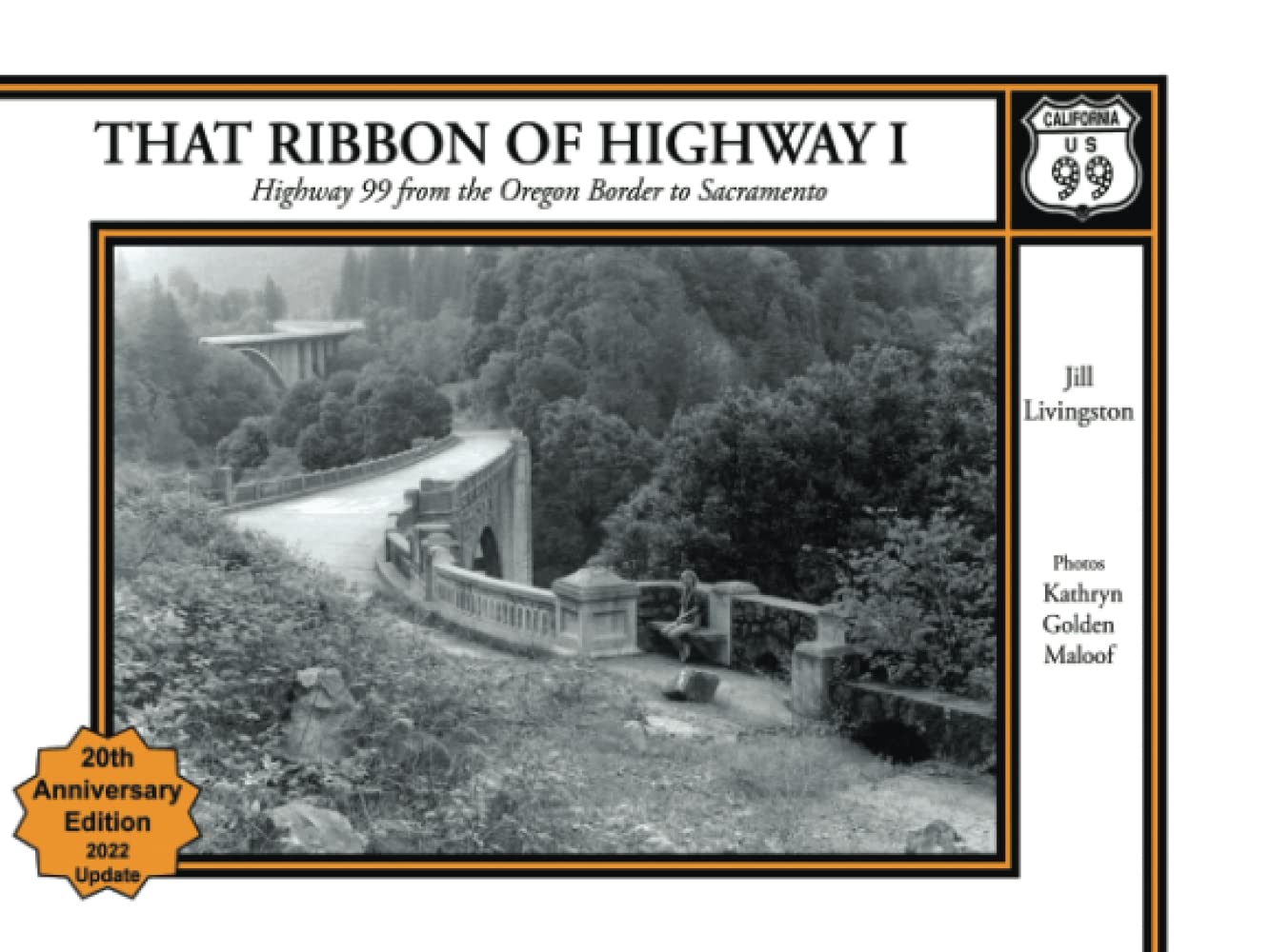
That Ribbon of Highway I: Highway 99 from the Oregon Border to Sacramento
$17.99
by Jill Livingston
Regional History and travel guide to historic US Highway 99 in northern California. More than 100 photos, historic and contemporary, maps, road log. One of the three volumes that cover the highway from the Canadian border to the Mexican border. The photos capture many of the remaining landmarks as well as hidden treasures now forgotten. --The Claremont Courier Their attention to detail is truely impressive. --Fresno Bee Your work obviously represents many, many hours of extensive research on the old highway. --Charles Smith, Editor , Action Era Vehicle Comments from the Media about Ribbon I and Ribbon II BACK COVER COPY: The road topped the crest of the Siskiyous, cut through a 4000' mountain pass chiseled out of solid rock, headed sharply downhill and south, and in a couple of miles crossed into a part of California sitting on the southern threshold of the conifer-covered Pacific Northwest. Over 900 miles later it ended in a sweltering desert valley on the border of another country. Inbetween, it bisected the state neatly into East and West. On its way south, it crossed mountain ranges, wound through tortuous river canyons, bee-lined across broad valleys dotted with magnificent oaks, passed through fertile fields and orchards, made its mark an innumerable settlements, large and small.This was US Highway 99. Used Book in Good Condition