The Settling of North America: The Atlas of the Great Migrations into North America from the Ice Age to the Present
$24.44
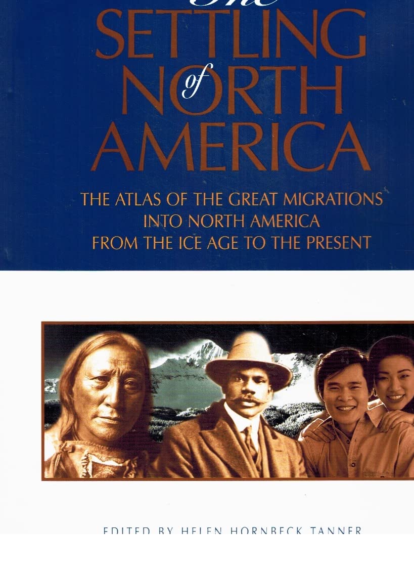
by Helen Hornbeck Tanner
Uses maps to show the arrival of a wide range of ethnic groups in America, from the Ice Age to the present This historical atlas focuses on the U.S. and Canada. Arrangement is chronological, with seven sections covering prehistoric times to 1950^-55; the final section looks at aspects of the present. An illustrated introduction prefaces each of the first seven sections; a time line follows, with parallel columns for North America, Central and South America, and the rest of the world. Then double-page spreads present thematic maps (several per spread), text, and illustrations. Representative of coverage are the two pages titled "Mid Europe to Mid West: Immigration from West Central Europe, 1860^-1920." About 25 percent of the space is devoted to text. One map shows population growth and migration in West Central Europe; it reflects more internal than external mobility. Another map illustrates where various ethnic groups lived in Milwaukee. Color gradations are used (not always successfully) to distinguish between settlement at three periods. A third map shows German place-names in the Midwest. Captioned illustrations depict Castle Garden and a Turnverein ball program. Pages are attractive and replete with information. Maps are clear and easy to read, use of color is generous, and map keys understandable. A reader can open at random and find something interesting and informative. Sample maps include migrant neighborhoods in 1920 Chicago, Native American trade networks, Caribbean migration, the powwow circuit, and Minorcan, Italian, and Greek immigration to Florida. Contributors are subject specialists and graduate students; the editor is a research fellow at the Newberry Library. The lengthy bibliography references a variety of articles, reports, books, and atlases. Access is through a detailed table of contents and place and name indexes. Libraries with interests in immigration, cultural diversity, genealogy, geography, and/or social history should consider purchase to complement their atlas collection. The physical attractiveness and broad intellectual sweep of The Settling of North America commend it for educational settings. More than 100 color maps chart the movements of peoples in and around North America over a three thousand year period: these form the heart of a fine visual history for adults which is authenticated by a team of historians and which presents fine overviews of all ethnic group experiences. Highly recommended as a basic visual history for those who want in-depth coverage of timeline events. -- Midwest Book Review