Toronto Road Map - Toronto Road Atlas - Road Map of Toronto Ontario Canada
$18.26
by Ecomaizing Books
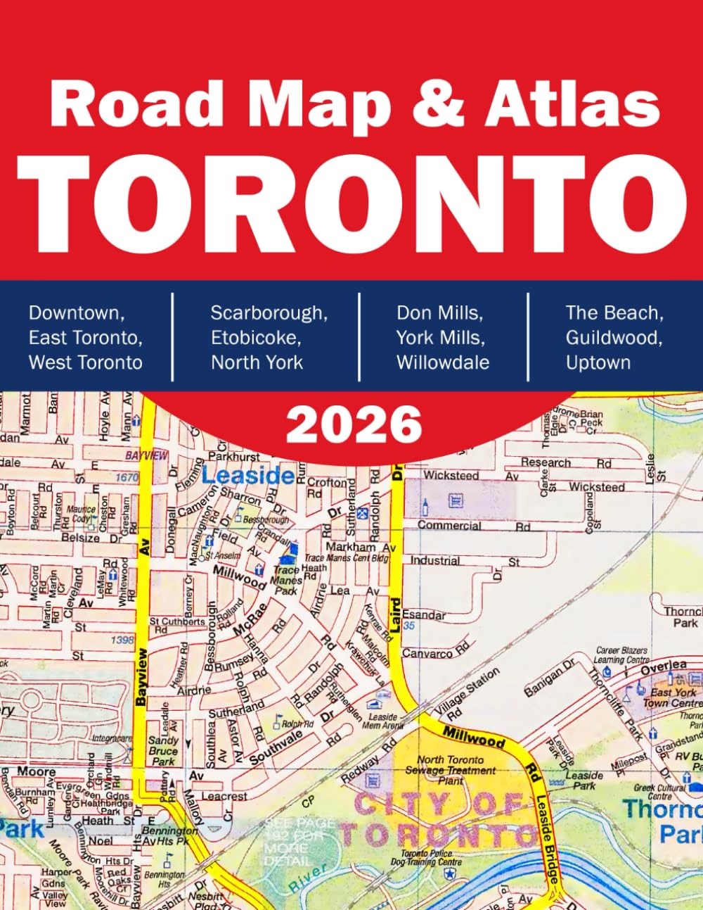
Toronto Road Map & Atlas Your Ultimate Guide to Navigating Canada’s Largest City The Toronto Road Map & Atlas is the definitive navigation companion for exploring every corner of Toronto — from vibrant downtown streets to quiet suburban enclaves. Whether you're a resident, commuter, tourist, or delivery driver, this detailed atlas offers comprehensive coverage of all major districts and neighborhoods within the Greater Toronto Area. Inside You’ll Find: Toronto Key Map for a full overview of the city layout - Detailed Neighborhood Maps including Downtown, North York, Etobicoke, Scarborough, York, and more - Clear Street Indexes & Labels for quick referencing and easy navigation - Enlarged Area Views such as The Beach, Guildwood, Weston, and Uptown - Essential Roads & Routes including main arteries, local roads, and transit corridors - Landmarks & District Highlights to support both everyday travel and touristic exploration Content Overview: Explore detailed maps of Toronto’s key areas: Downtown, East Toronto, West Toronto - Scarborough (multiple areas), Etobicoke, North York - Don Mills, York Mills, Willowdale, Malvern - The Beach, Guildwood, Uptown, and more With page-by-page precision and a user-friendly layout, this atlas is perfect for keeping in your car, at your office, or on your bookshelf for planning routes, discovering new neighborhoods, or just getting from A to B with ease. Whether you're navigating your daily commute or planning your next Toronto adventure, this atlas is your trusted guide.