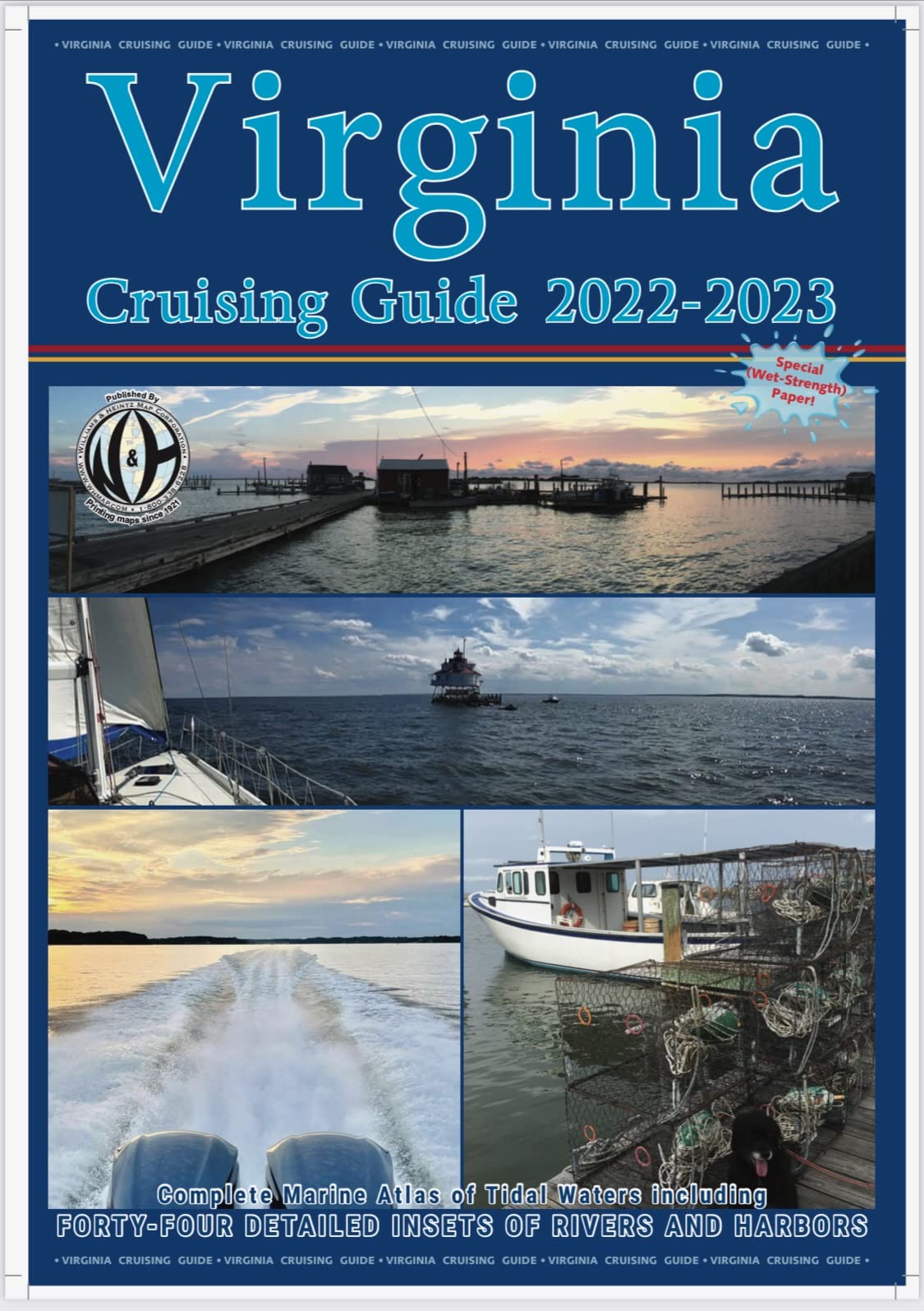
Printing maps since 1921 Plot your course with a Williams & Heintz cruising guide. Based on NOAA's NAD-83 charts, This guide contains up-to-date information about buoys, marinas, ramps and other marine facilities. This Virginia Cruising Guide covers the Virginia area of the Chesapeake Bay, the Potomac River as far North as Washington, D.C., the Chincoteague Bay area, and includes a large scale inset of Ocean City. Each book is enclosed in a heavy-duty vinyl case to protect it from spray. The pages are printed on high wet strength paper. This paper is just as strong wet as dry. One of the lowest priced boating guides available!! ORDER HERE! 'The charts in this guide are reproductions of selected NOAA charts. Charts 1 through 21 are at a scale of 1:80,000. The insets are in various scales from 1:40,000 to 1:20,000. These charts were corrected utilizing the information published in the U.S. Coast Guard Local Notice to Mariners through December 2021.' Williams and Heintz printed the very first Guide for Cruising Maryland Waters beginning in the early 1960's for the Department of Natural Resources. Now, new and improved, it is published under the title of Maryland & Delaware Cruising Guide. This is a complete marine atlas of tidal waters, including over 50 insets of rivers and harbors. This Chart book is the successor to the Maryland Cruising Guide. The same standards of accuracy and quality are continued in the Virginia Cruising Guide. CHART INDEX & CHART NUMBER: 1-Norfolk and Routes South 2-Atlantic Shore (Virginia Beach to Back Bay) 3-Western Shore (York River Entrance to Norfolk) 4-Chesapeake Bay Entrance 5-Western Shore (York River to Rappahannock River) 6-Eastern Shore (Cape Charles to Occohannock Creek) 7-Western Shore (Rappahannock River to Smith Point) 8-Mid-Bay (Windmill Point to Smith Point and Tangier Island) 9-Eastern Shore (Tangier Sound and Pocomoke Sound) 10-Eastern Shore (Smith Island and Pocomoke Sound) 11-Potomac River Entrance 12-Potomac River (St. George Island to Breton Bay) 13-Potomac River (Colton Point to Mathias Point) 14-Potomac River (Mathias Point to Gunston Cove) 15-Potomac River (Mattawoman Creek to Washington D.C.) 16-Atlantic Shore (Cape Charles to Great Machipongo Inlet) 17-Atlantic Shore (Quinby Inlet to Metompkin Inlet) 18-Atlantic Shore (Garathy Inlet to Chincoteague Island) 19-Atlantic Shore (Chincoteague Island to Ocean City Inlet) 20-Atlantic Shore (Chincoteague and Oceant City Inlet) 21-James River (Nansemond River to Warwick River) 22-James River (Jamestown Island to Seven Mile Reach) 23-James River (Seven Mile Reach to Richmond) 24-York River (Yorktown to West Point -Mattaponi & Pamunkey Rivers) 25-Rappahannock River(Corrotoman River to Horse Head Point) 26-Rappahannock River (Horse Head Point to Fredericksburg) Williams & Heintz has been in the business of making and manufacturing maps for entrepreneurs, government agencies and map publishers since 1921. We have evolved from a company with four employees engraving topographic maps on copper plates to one with nearly forty employees specializing in the production and printing of maps and charts for the mapping industry. We offer the highest quality, service and competitive pricing anywhere on the North American continent. We are experts at large-format map printing and folding. There is a special craft to printing and folding maps, different from any other sheetfed work, and at Williams & Heintz, we are masters of this craft.