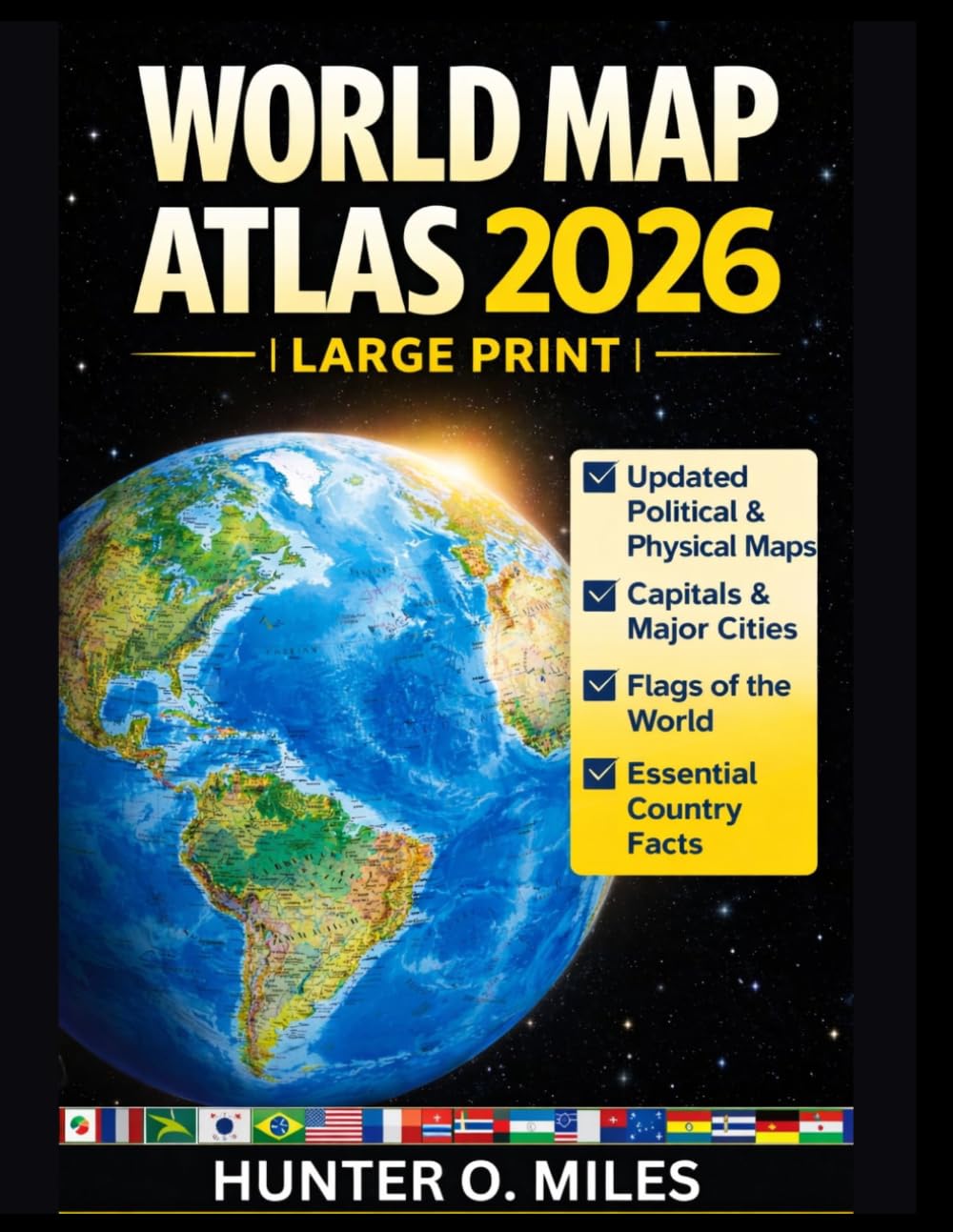
WORLD MAP ATLAS 2026 – LARGE PRINT: Easy-to-Use World Atlas with Updated Political and Physical Maps, Capitals, Major Cities, Flags and Essential
$22.50
by HUNTER O. MILES
Discover the world like never before with the World Map Atlas 2026 – Large Print Edition — a complete and updated global reference designed for clarity, accuracy and ease of use. This professionally organized atlas features detailed political and physical maps of every continent, clearly labeled countries, capitals and major cities, and the most recent international borders. The large print format makes it comfortable to read for students, teachers, travelers and anyone who values visual clarity. Inside this atlas, you will find: • Updated world political and physical maps • Clearly marked capitals and major cities • World flags and country facts • Climate zones and terrain details • Time zones and geographic reference data • Easy-to-read large print layout Whether you are studying geography, planning travel, teaching in the classroom or expanding your global knowledge, this atlas is designed to be a reliable, practical and modern reference. A timeless resource for every home, school and office.