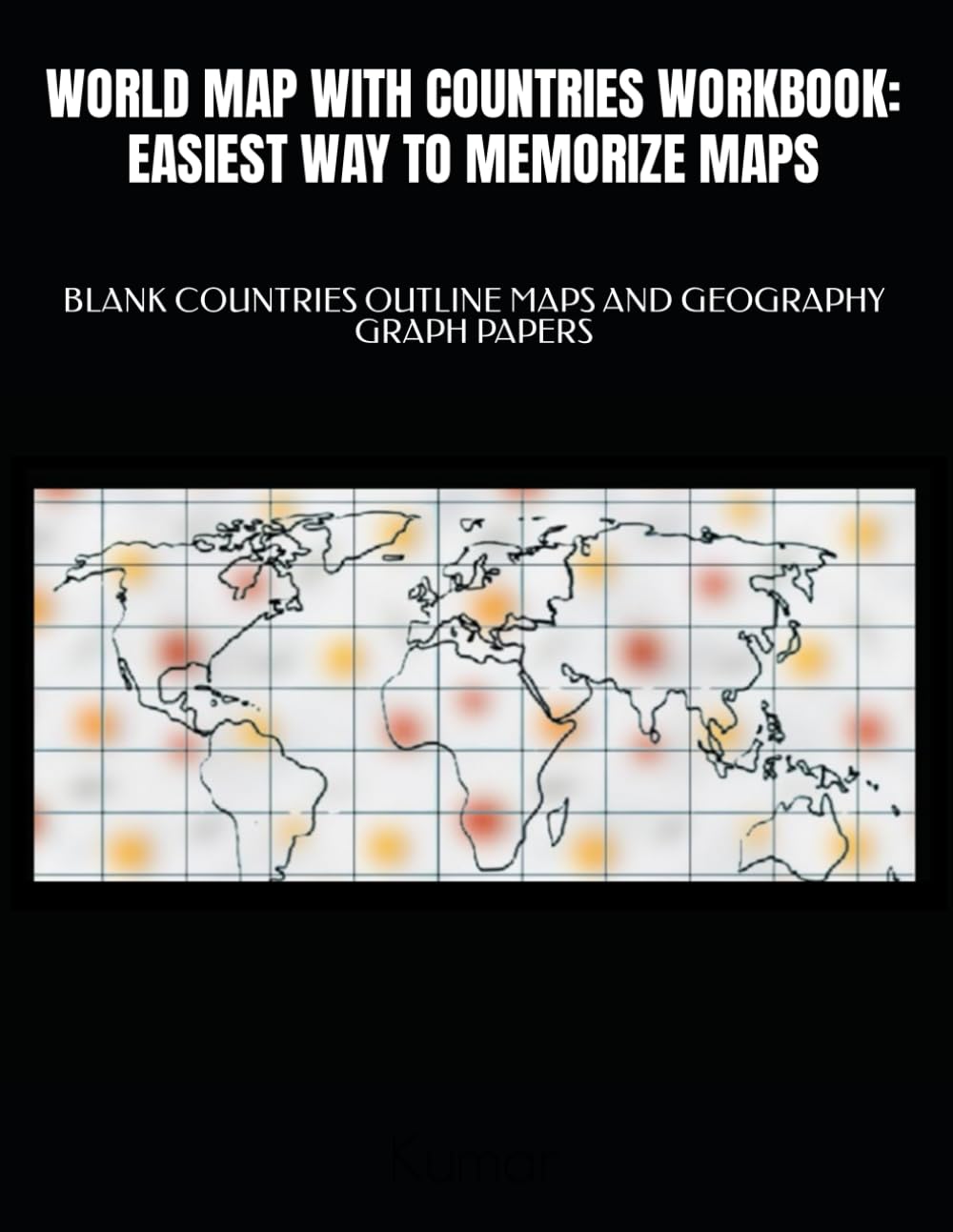
WORLD MAP WITH COUNTRIES WORKBOOK: EASIEST WAY TO MEMORIZE MAPS BLANK OUTLINE MAPS FOR COUNTRIES AND GEOGRAPHY GRAPH PAPER CAUTION :PLEASE READ PRODUCT DESCRIPTIONS VERY CAREFULLY BEFORE MAKING THIS PURCHASE, KINDLY MAKE SURE IT MEET YOUR NEEDS. Research has found that repetition is an essential learning aid. Learn continents, borders and geographic features. World map for 5th-10th grade world geography. Blank maps with borders for countries and regions of the world. Maps of countries in the world:Russia, Canada, China, the United States, Maps Countries in South America; Countries in Europe; Countries in Northern America; Geography maps to locate the World’s Countries, using these maps Countries in Asia; Countries in Africa etc. To help people who can not find countries on the map. Maps are Created in a way to help students learn the location of countries in the world Brazil, Australia, India, Argentina, Kazakhstan, and Algeria.etc. Also Cryptograms Puzzles based on Countries and Capitals Boost Geography locational Knowledge about World Can be used for a variety of purposes Maps for contemporary countries in the world Maps with current geopolitical borders. Blank maps for many activities Computer created maps worksheets Map Disclaimer. These Maps are for graphical informational purposes only This Workbook is Perfect to study World, states and capitals. You will be getting Blank World Map Without Country Names Different types of blank maps worksheets for practice Blank World maps with latitude and longitude grid Global geography, Atlas of World Geography maps For identifying the continents and oceans World Political & Hydrography Blank Map Blank World political map with country, Blank World map with ocean and sea names labeling Learn continents, borders and geographic features. Map Coloring and Labeling Activities Students will label and color the map to identify cities, Learn physical geography, and landmarks of their region. Blank Maps with Countries, Regions, Continents and Oceans Blank map easy memorization, To explore all the continents and the oceans Can be used for a variety of purposes Migration and pattern mapping, discussions about any Topic Reinforce World History and Geography lessons Plot geographic information about World Analyzing geographic information about World Improve Maps and Spatial Thinking Skills Based on Common Core CCSS:CCRA.W.8, RH.6-8.7, RH.9-10.7 CCSS:RI.3.1, RI.3.2, RI.4.1, RH.6-8.7, WHST.6-8.10 Ink and Paper Type: Black & white interior with white paper Bleed Settings: No Bleed Paperback cover finish: Matte Trim Size: 8.5 x 11 in Page Count: 123