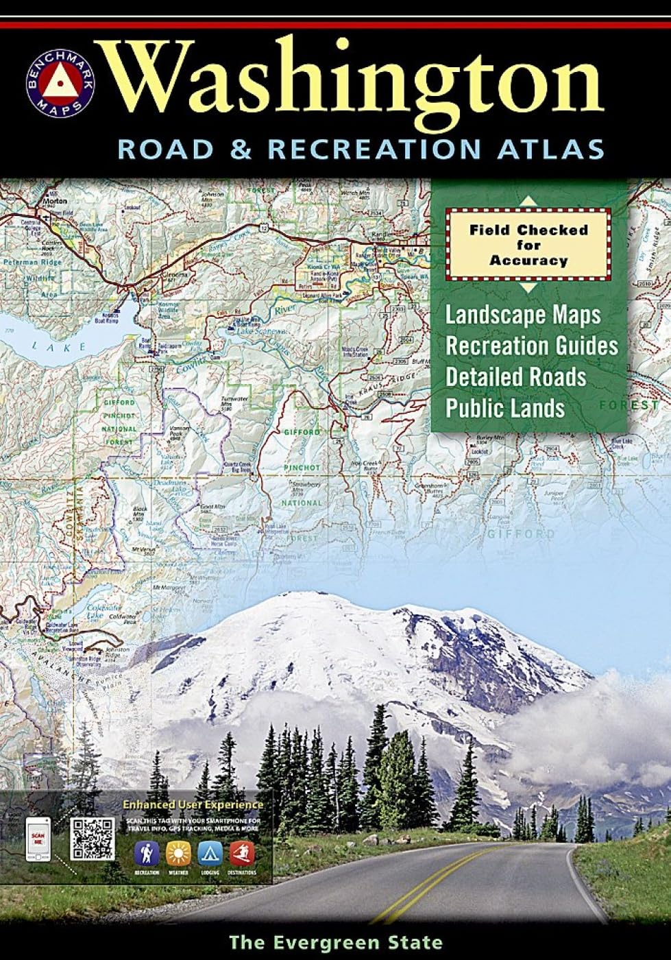
Washington is cool, pristine and evergreen and boasts an incredibly wide range of outdoor recreation. Benchmark's Washington atlas has the latest, most accurate maps and reliable recreation information to make the most of these opportunities. The large-scale Landscape Maps™ make this atlas perfect for either freeway travel or four-wheeling fun on a remote back road. Includes complete Public Land ownership and GMU boundaries. Map Scale = 1:200,000 & 1:600,000 - Sheet Size = 11" x 16" The new 4th edition features updated Landscape Maps throughout - field-checked and field verified statewide - with complete back road information. Also, page-to-page overlap and large easy-to-read type. The Recreation Guide has also been thoroughly revised. Categorized listings include campgrounds, RV Parks, Parks, Monuments, and natural wonders, museums and historic sites. Outdoor activity listings include fishing, boating, and hunting areas, river rafting and winter recreation. The Metro map section, with coverage of greater Seattle/Tacoma, has also been updated. Founded in 1915 as the Cartographic Group, the first division of National Geographic, National Geographic Maps has been responsible for illustrating the world around us through the art and science of mapmaking.Today, National Geographic Maps continues this mission by creating the world's best wall maps, recreation maps, atlases, and globes which inspire people to care about and explore their world. Benchmark Maps