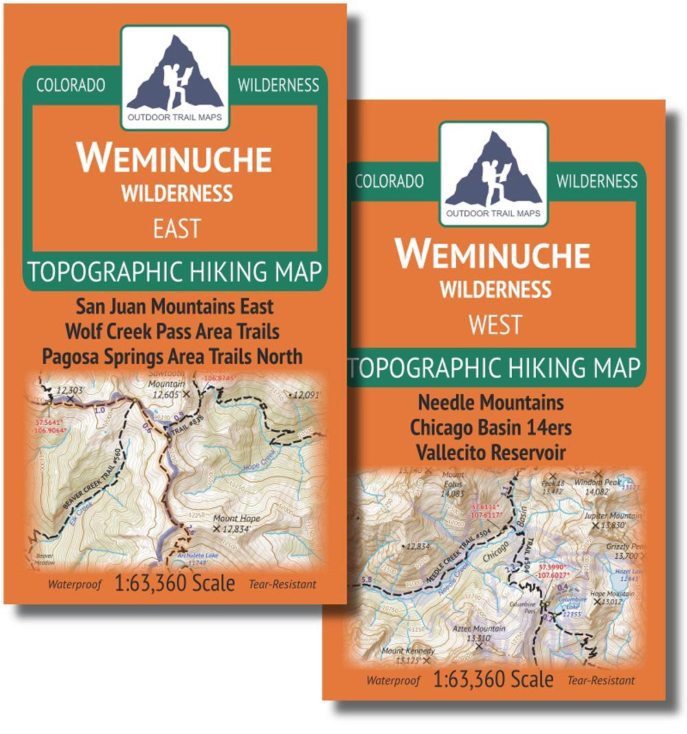
Two (2) Waterproof, tear-resistant, 1:63,360 scale maps, each with a compact 4"x7" folded size for your pocket Smaller and lighter - no more unfurling huge maps - designed for on-trail use Segment distances - mileage - for all trails Up-to-date for 2019 with accurate trail routings and distances GPS coordinates for trailheads and trail junctions - device compatible Two waterproof, tear-resistant maps covering the hiking trails of the Weminuche Wilderness of southwestern Colorado. Covered over two maps, the EAST map features the trails north of Pagosa Springs and around the Wolf Creek Pass area, while the WEST map covers the Needle Mountains and the area between Durango and Silverton along the narrow gauge railroad, inclung the 14ers around Chicago Basin: Mount Eolus, North Eolus, Sunlight Peak and Windom Peak.