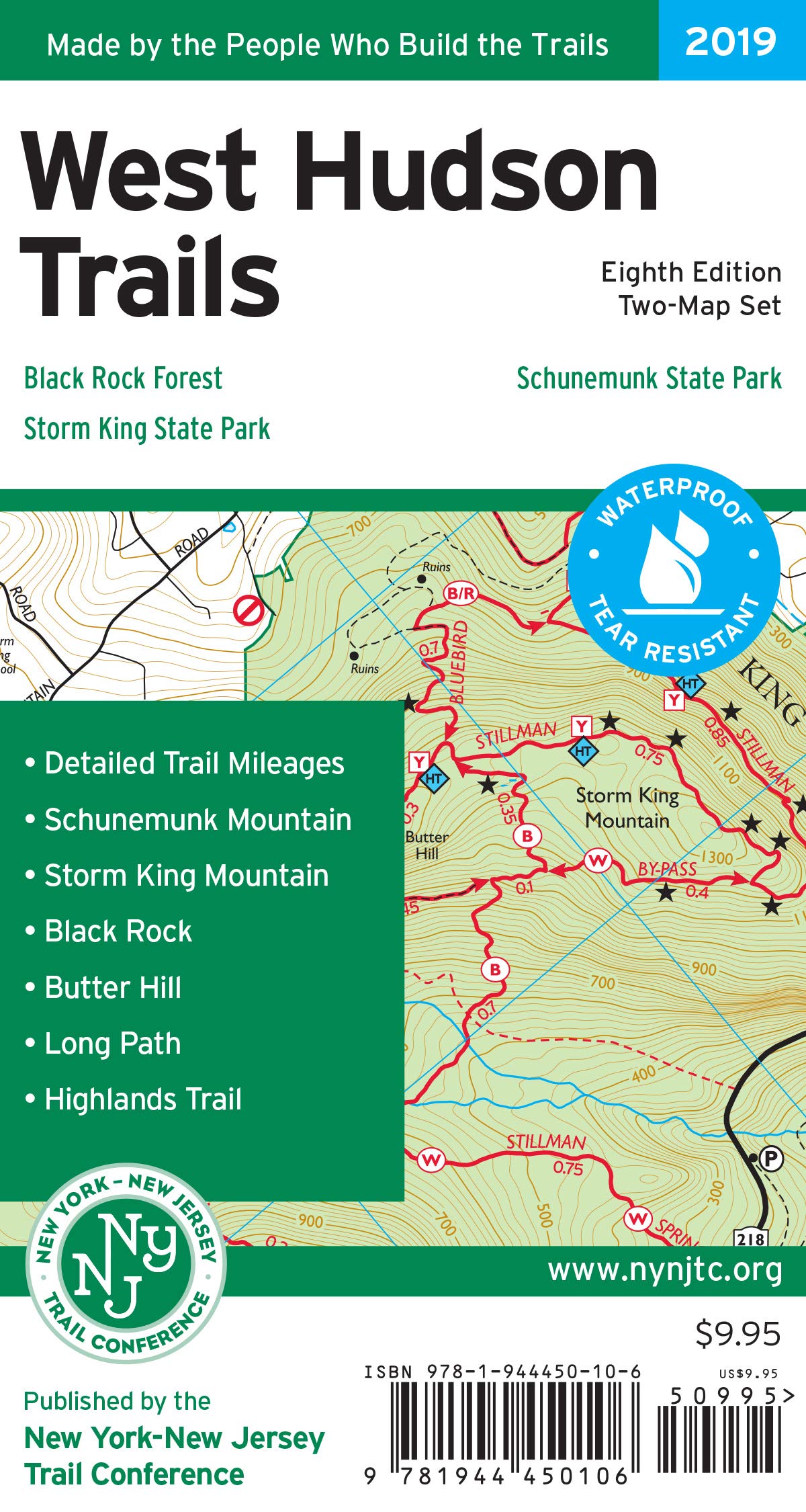
West Hudson Trails Map, 2019: Storm King State Park, Schunemunk State Park, Black Rock Forest
$9.95
by New York-New Jersey Trail Conference
The West Hudson Trails Map by the New York-New Jersey Trail Conference is a two-map set featuring trails in parklands west of the Hudson River in the Hudson Highlands of Orange County, New York. The maps are printed in vibrant color on waterproof and tear-resistant Tyvek, and are a must-have for exploring these parklands in Orange County west of the Hudson River. Covering nearly 70 miles of marked trails, the revised 8th edition of West Hudson Trails includes multiple new trails, adjustments to scenic viewpoints, newly-preserved lands, and the latest trail relocations. Junction-to-junction trail mileage numbers on the map help with trip planning and on-trail navigation. Many other updates and adjustments make this 8th edition of West Hudson Trails our most accurate map yet of these Orange County parklands. Map features include: Nearly 70 miles of marked trails in Orange County, New York - Parklands including Black Rock Forest, Schunemunk State Park, and Storm King State Park - More than 10 miles of the Long Path and nearly 25 miles of the Highlands Trail - Detailed junction-to-junction trail mileage numbers - 20-foot elevation contours - 1:20,000 scale (1 inch = 0.32 mile) - Convenient map sizes to carry and use on the trail - Inset map showing a portion of Orange County's Heritage Trail - Parkland boundaries - Unmaintained trails and woods roads - Viewpoints, mines, springs, and other points of interest - Parking areas - Trail descriptions, park contact information, history, and regulations - UTM coordinate grid for navigation Trail Conference maps are built on more than 85 years of mapping experience. They are the trusted source for reliable trail information in the New York-New Jersey metropolitan region. These maps are "Made By the People Who Build the Trails" and are regularly updated with changes to the trails. Clear, detailed topographic maps of West Hudson from the NY/NJ Trail Conference, designed for precise navigation during outdoor adventures. Printed on durable, waterproof paper to withstand rugged conditions and ensure longevity in all weather environments. Features comprehensive trail classifications, elevation profiles, and points of interest to enhance your planning and on-the-trail experience. Ideal for hikers, trail runners, and mountain bikers seeking reliable, easy-to-read navigation tools for the Mid-Atlantic region. Innovative cartography technology provides accurate, up-to-date trail information, making these maps essential for safe and confident outdoor exploration.