Western Texas, The Lone Star State, Recreation Map, 2017 Edition (Benchmark)
$7.95
by Benchmark Maps
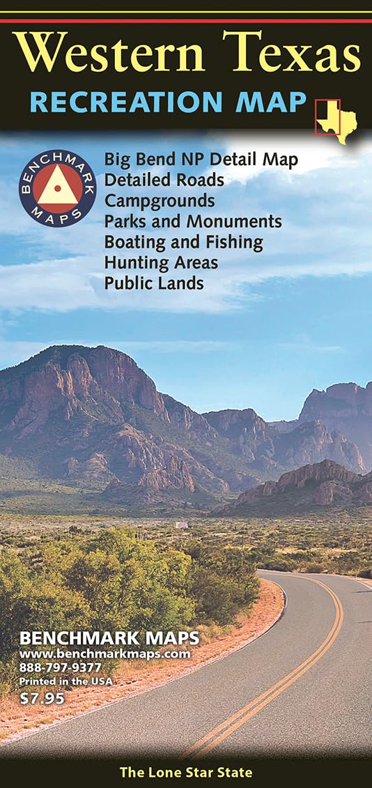
The Western Texas Recreation Map is the first map product to show the real richness of recreation potential in The Lone Star State. One side provides a Western Texas map that features land cover (forest, grassland, cropland, & wetland), extensive highway detail, point-to-point mileages, recreation sites, Roadside America attractions, campgrounds, parks & wildlife areas, boating & fishing access points, and public hunting areas. This side also includes an area map of Big Bend National Park. The reverse side features categorized recreation listings with helpful descriptions, current contact information, and map grid references. In 1995, three respected mapping firms collaborated on a vision they shared for a new line of state road atlases. The result was Benchmark Maps: a partnership that would apply the unique talents of each company to produce atlases with an entirely new kind of look and presentation. These new atlases would combine strikingly beautiful Landscape Maps™ with data collection of unequaled accuracy and detail. Since our beginning, well over a million Benchmark maps and atlases have been purchased by discriminating map users from all over the world. It's not unusual for us to hear from people who have purchased a copy of every one of our atlases. Parks, Monuments, Natural Wonders Boating & Fishing Access Historic Sites & Museums Campgrounds & RV Parks Natural Wonders & Trails