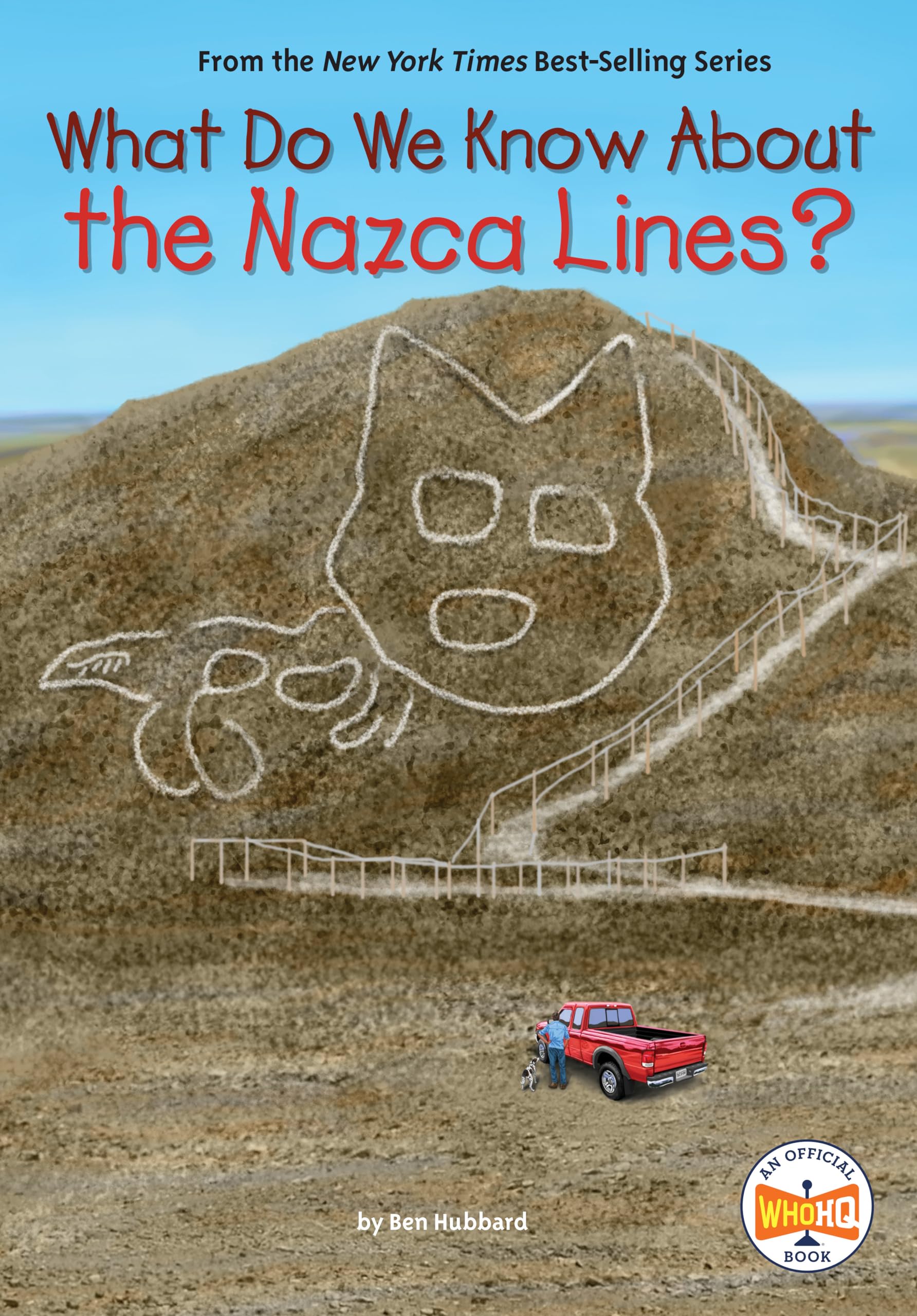
How did the mysterious images high in the Nazca Desert in Peru come to be? Find out the truth about these ancient figures in the soil that can only be fully seen from high above the Nazca plain. Presenting What Do We Know About?, an exciting extension of the #1 New York Times Best-Selling Who Was? series! The Nazca Lines in Peru have mystified people around the world for centuries. The famous figures, sometimes called geoglyphs, include a hummingbird, a spider, a fish, a monkey, a dog, a cat, human-like figures, geometric designs, and more. These amazing images were believed to have been created between 500 B.C.E. and 500 C.E., and no one is quite sure how or why they were created. Some historians believe that they are ancient irrigation systems, but other researchers believe in a more paranormal origin story. Were the Nazca Lines created by ancient cultures thousands of years ago, or could they have been alien landing sites? Find out the truth about the Nazca Lines in this book for young readers. Ben Hubbard is an accomplished nonfiction author for children and adults with over 130 titles to his name. He has written about many subjects, from space, the samurai, and sharks to poison, pets, and the Plantagenets. His books have been translated into over a dozen languages and can be found in libraries around the world. Indonesian born Dede Putra is a digital artist living in Auckland, New Zealand. He is a "bit of a foodie" and a "big audio/visual guy." What Do We Know About the Nazca Lines? One day in 1926, Toribio Mejía Xesspe (say: ZESS-pay) took a hike in the hills near the town of Nazca in southern Peru. From the top of a hill, Mejía Xesspe gazed across the landscape below him, called the Nazca Pampa: a flat, featureless desert plateau around eighty-five square miles in size. Little grows on this barren land, littered with pebbles and rocks. The pampa is situated high up, around 1,500 feet above sea level. To the east lie the mighty Andes Mountains, and to the west, the Pacific Ocean. On the southern edge of the pampa is the Nazca River; to the north, the Ingenio River. The rivers bring some water to the valleys below them, but little water ever reaches the elevated pampa. In fact, it is one of the driest places on Earth. This is because the Andes Mountains block the clouds that carry water toward the coast. As a result, less than one millimeter of rain falls on the pampa each year. To Mejía Xesspe, who was an archaeologist (a person who analyzes artifacts to study human history), the pampa seemed like a giant wasteland. But when he looked more carefully, he could see something strange crisscrossing the surface of the flat land below him. It looked like lines. Some of the lines crossed others; some stretched hundreds of feet into the distance. Some seemed to form shapes, such as triangles and rectangles. Others were harder to make out. The pampa looked a bit like a geometry teacher’s chalkboard after a busy week of lessons. Intrigued, Mejía Xesspe walked down to the pampa to take a closer look. Here, he found the lines were more like etchings on the land’s surface. The dark desert pebbles had been moved away to reveal the pale sand beneath. Some of the lines were less than thirty inches wide, but others were as wide as six feet. Their straight edges were too precise to have been made by the flow of water. There were no rivers on the pampa anyway. But this also meant there had been nothing to wash the lines away. They were probably very old. Finding the lines had surprised Mejía Xesspe. He felt certain that they had been made by people. But he didn’t make a big deal about them. At the time, he was making other important discoveries with Julio C. Tello, a famous archaeologist often called the Father of Peruvian Archaeology. To this day, no one has been able to solve the ancient mystery of what became known as the Nazca Lines. Chapter 1 Patterns on the Pampa Located on the west coast of South America, the country of Peru has a variety of landscapes that include mountains, deserts, beaches, and rain forests. It is comprised of coastal plains in the west, high rugged mountains in the center, and lowland jungle in the east. The Amazon Rain Forest—the largest in South America—covers more than half of Peru. Stretching from north to south are the Andes Mountains. The Andes are so high (averaging between 13,000 and 22,000 feet above sea level) that they can be seen from Peru’s Pacific Coast beaches, fifty miles to the west. Peru’s west coast is made up of a narrow strip of desert around 1,555 miles long. It is here that ancient cultures such as the Paracas and Nazca used to live. Later, the Inca Empire took over and built large cities and temples. The Paracas people were an ancient Peruvian culture who lived between 750 BCE and 200 CE. They existed before the Nazca, but inhabited parts of the same area in Peru’s south. They were also a big influence on the Nazca peop