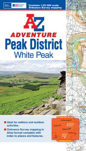
This A-Z Adventure Atlas of the Peak District White Peak features 68 pages of continuous Ordnance Survey mapping covering: Peak District National Park (southern part) Hope Valley Castleton Bakewell Buxton Dove Dale Monsal Dale Lyme Park Eyam This A-Z Adventure Atlas has the accuracy and quality of OS Explorer mapping indexed within a book, making it the perfect companion for walkers, off-road cyclists, horse riders and anyone wishing to explore the great outdoors.