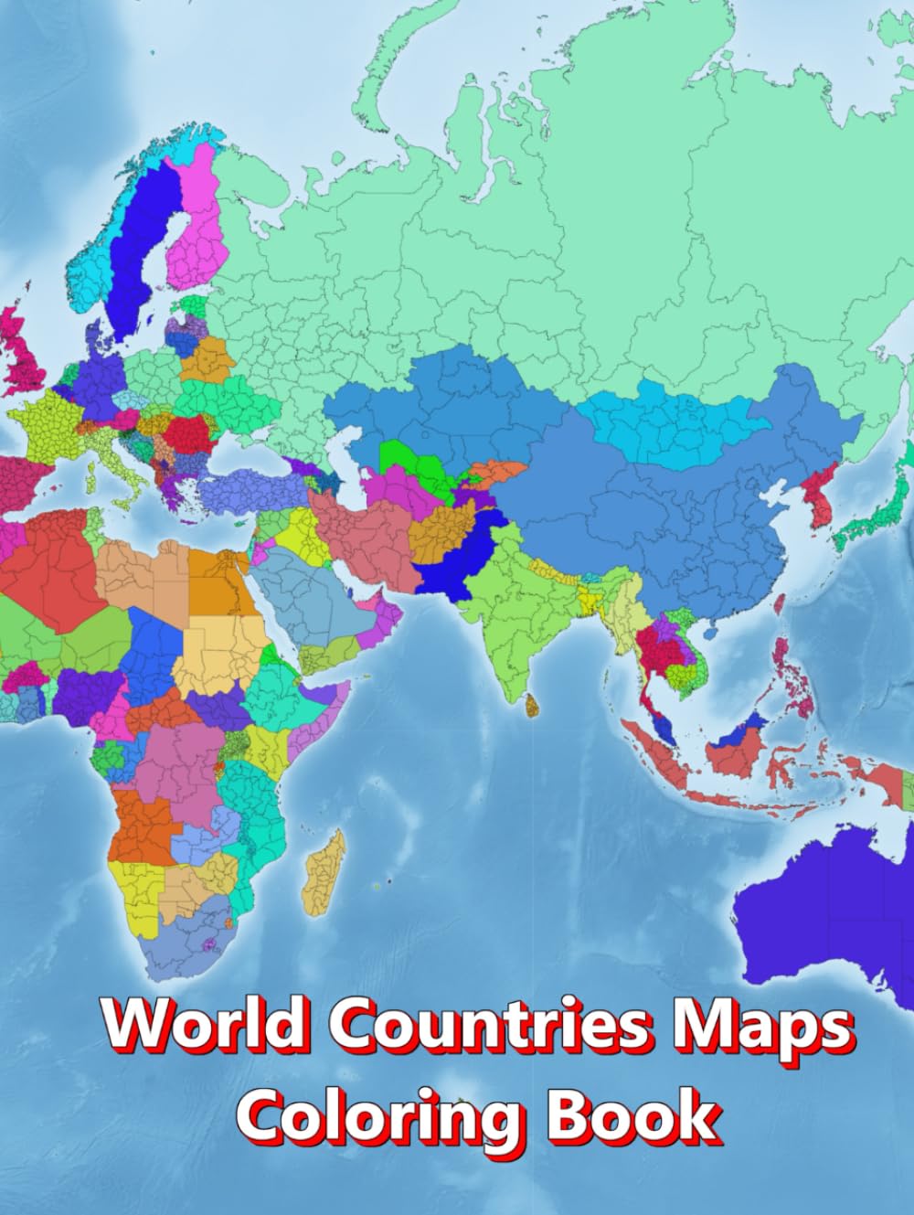
🌍 Discover the World in a Creative and Educational Way with the “World Countries Map Coloring Book”! This comprehensive world atlas coloring book for kids features over 200 detailed maps from all continents – Africa, Asia, Europe, Oceania, North and South America – including countries, capitals, regions, cities, mountains, rivers, seas, and oceans. Children, students, and young learners can explore geography in a playful way, expand their world knowledge, and discover the beauty of our planet continent by continent. 📄 205 pages 🗺️ 203 different maps ✏️ Blank, outline & detailed maps 📏 A4 – 8.5" x 11" large print (21.59 cm x 27.94 cm) 📠 Suitable for photocopying 📃 White paper ⚫⚪ Black-and-white maps It promotes creative coloring, education, creativity, concentration, and a passion for travel and discovery. Each page encourages color fun, inspires curiosity, and strengthens fine motor skills. Perfect for school, homeschooling, classrooms, educational activities, or creative free time. With its blank, outline, and detailed maps, this book is ideal for geography lessons or as a geography activity workbook. Teachers and parents can easily photocopy the pages for use in the classroom or at home as cartographic learning activities. The “World Countries Map Coloring Book” is an ideal educational resource for children, making the discovery of the world easy and exciting. It combines atlas learning, geography education, continental discovery, and learning through creativity and travel into one fun and interactive experience. This atlas coloring book for students makes a wonderful gift for children, teachers, parents, and anyone who loves to explore the world and learn geography. A unique piece of general knowledge that should not be missing from any home or school library!