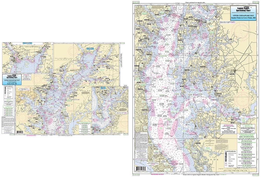
Captain Segull's Sportfishing Chart
Middle Chesapeake Bay - Laminated Nautical Navigation & Fishing Chart by Captain Segull's Nautical Sportfishing Charts | Chart # CBM119
Laminated Fishing Chart Inshore Fishing Chart: An inshore chart for Middle Chesapeake Bay, side A, covers from Cove Point, MD to Smith Point, VA, with an continuation of Pocomoke River, side B, from Smith Point to Wolf Trap, VA Shows fishing areas, wrecks, reefs, local names and amenities in GPS out...
$16.95